


BILLINGS — Warm and dry conditions are expected through the weekend as high pressure continues to influence the region, with highs mainly in the low to mid-80s.
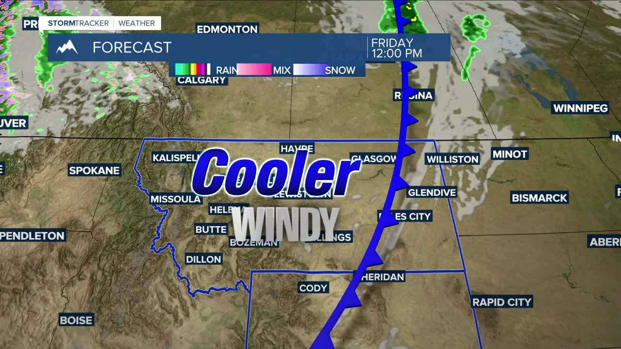
A dry cold front is expected to sweep through late Thursday into Friday, bringing some cloud cover, breezy conditions with gusts up to 30 mph possible (40 mph or more over the Beartooth Foothills), and slightly cooler temperatures on Friday.
High pressure is expected to shift east, allowing for a chance of rain and cooler temperatures by the middle of next week, though the timing remains uncertain.
Nighttime lows will be in the 40s and 50s through early next week.
Miller Robson
Q2 Morning Meteorologist
miller.robson@ktvq.com
