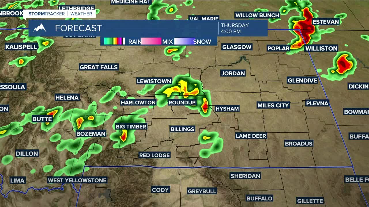


BILLINGS — Unsettled weather returns to the area on Thursday as a cold front approaches from the west. There is potential for strong to severe thunderstorms to develop during the afternoon and evening hours, which could produce strong winds, large hail, and heavy rainfall. Stay weather aware if you have outdoor plans. There may even be a little bit of wet snow in the highest peaks of the Beartooths and Absarokas. Daytime highs will range from the mid-80s in the west to low 90s in the east and northern Wyoming.
Showers are possible through Friday morning but should taper off from west to east by midday as the front moves out and a drier air mass begins to settle in for an extended period. Breezy to windy conditions will spread across the area, with gusts of 30–40 mph over the western foothills and around 20 mph elsewhere. Friday will be cooler, with highs mainly in the low to mid-70s—around 10 degrees (or more) below average.
While most of the energy will have moved out for what will be a dry weekend, just enough instability could linger to bring a very low chance of isolated showers on Saturday and perhaps Sunday. Daytime highs will be in the upper 70s to low 80s on Saturday, then the low to mid-80s on Sunday.
Northwest flow will keep mainly dry conditions in place through the middle of next week, though some models are hinting at a more unsettled pattern for the second half of the week. There’s still a lot of uncertainty, so stay tuned.
Daytime highs will rebound to the mid to upper 80s on Monday, then warm into the upper 80s to low 90s on Tuesday and Wednesday.
Nighttime lows will range from the 40s in the west to the 60s in the east Thursday night, 40s and 50s Friday and Saturday nights, then 50s Sunday and Monday nights, and finally 50s and 60s next week.
Miller Robson
Q2 Morning Meteorologist
miller.robson@ktvq.com
