


BILLINGS — Even though it has been quiet Tuesday, periods of wind continue through the week, with some of the strongest gusts on Sunday. Temperatures fluctuate a bit, and it stays mainly dry.
A high-pressure ridge is building over the region Tuesday night into Wednesday, ahead of a cold front. This will create wind along the western foothills, favoring the Livingston to Nye areas.
There is a 60% chance for wind gusts to reach 50 mph late Tuesday night into Wednesday morning in these areas with breezy conditions widespread. Strong winds of 20 to 40 mph will favor areas to the north and west of Billings.
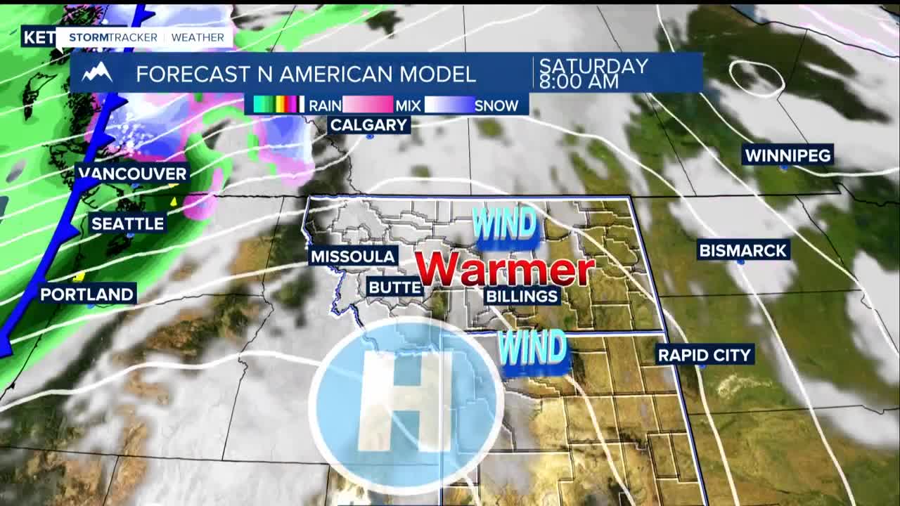
Wednesday will be warmer, with highs in the 50s to near 60 degrees ahead of the cold front. The front will be mainly dry but for a shower or two.
Expect breezy northwestern winds to return Thursday afternoon and evening in far eastern Montana with wind gusts of 20 to 40 mph. Temperatures in the upper 40s to lower 50s are forecast for Thursday.
Friday looks dry, but cool for Halloween with highs in the 40s to mid 50s. Winds look to be light as well.
The ridge begins to flatten Saturday through Sunday as an atmospheric river begins pushing into the Pacific Northwest. This will allow for pressure gradients to tighten along the western foothills, once again favoring Livingston to Nye with possible 50 mph gusts.
