


BILLINGS — A cold front is moving through bringing a mix of rain and snow, with strong, gusty winds of 30 to 55 mph. This could cause areas of blowing and poor visibility across the eastern-most counties of Montana through early Tuesday.
Tuesday: Cooler than normal temperatures dig in with most lows in the 20s and most highs in the 30s. Winds stay gusty through midday, especially in eastern Montana. Light snow is possible in eastern Montana that could make travel trick, especially with blowing snow possible.
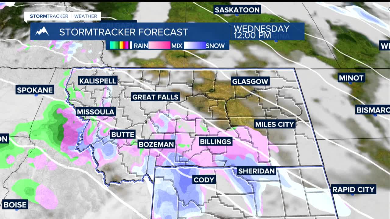
Wednesday-Friday: Temperatures stay below normal with highs in the 30s and some low 40s. Light rain or snow is possible each day withe lest odds by Friday. Light amounts of snow may start accumulating west of Billings late Thursday into Friday.
Friday Night Through Sunday: The coldest air of the season arrives with highs in the teens and 20s. There is the potential for the first major snowfall with a 20-40% chance the much of the area sees around 3 inches. Monday morning could bring widespread single-digit lows.
If you're traveling after Thanksgiving, keep watching the forecast closely. The forecast is still developing, so check back for updates as we get closer to the weekend,
