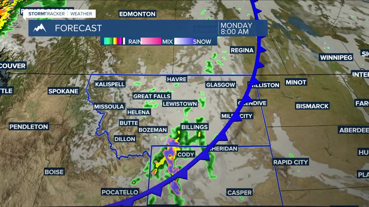


BILLINGS — Fall arrives at 12:19 PM on Monday, and it will feel every bit like it.
It will be much cooler, as chilly air behind a cold front knocks temperatures down mainly into the mid to upper 60s. It will also be breezy to windy, with gusts between 20–30 mph. A few thunderstorms are possible, with some storms producing winds over 40 mph—especially over the mountains, where a few inches of snow could fall, mainly on the higher peaks. Up to an inch of snow is possible across the Beartooth Highway.
As for rain, a quarter of an inch or more is possible in the mountains and foothills, along with south-central MT and north-central WY, while areas from Billings to eastern Rosebud County can expect only light accumulation.
Although a few showers may linger on Tuesday, high pressure will bring dry and warmer conditions through the weekend.
Temperatures will trend upward, with highs in the low to mid-70s on Tuesday, then generally in the low to mid-80s Wednesday through Thursday, before cooling back to the mid-70s to low 80s on Friday and over the weekend.
Nighttime lows will drop into the mid-30s west to mid-40s east Monday night, then settle into the 40s and 50s for the rest of the week.
Miller Robson
Q2 Morning Meteorologist
miller.robson@ktvq.com
