


BILLINGS — The northern Rockies are under a strong, mostly dry ridge. Brewing up north in Canada is a disturbance marching through Alberta. This trough will move over the Great Lakes, skimming eastern Montana and the Dakotas along the way.
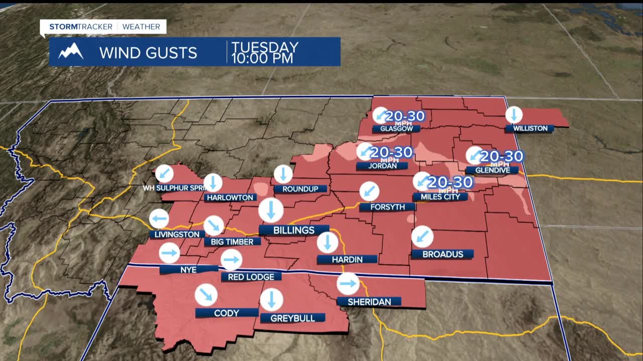
Tuesday will be mainly warm and dry with temperatures climbing into the mid-80s to lower 90s—not quite record-breaking, but still 5° to 10°F above what early September typically delivers. As Tuesday evening approaches, the winds will begin gusting 15-25 mph as a cold front slips by.
Tuesday night's cold front will usher in cooler northeastern winds and dropping temperatures. Wednesday can still reach the mid-to-lower 80s from Billings to the west, while the eastern Montana and the Dakotas drop to the 60s and 70s.
Carried by a northwest upper wind smoke arrives from the vast Canadian wildfires, possibly affecting air quality across eastern Montana.
Thursday, there is another frontal passage. This one brings wind gusts between 20-40 mph, strongest across the south and eastern plains. Temperatures settle into the 70s and low 80s through Saturday, with Friday claiming the coolest day.
As the weekend unfolds, uncertainty creeps into the forecast. Models are hinting at possible weekend showers, particularly in the western mountains and foothills, though most of the region would likely remain dry. By Sunday, the warmth began its gradual return, promising mid-80s to welcome the new week.
