


BILLINGS — A cold front is moving south and east, taking rain, wind and clouds with it. Starting Monday, the region will see a series of weather systems rolling through every couple of days right through next weekend.
Monday will be relatively quiet with highs mainly in the mid-to-lower 50s. The winds will be much lighter and we stay mainly dry.
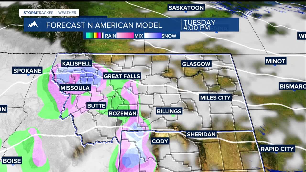
Tuesday, a moderate weather disturbance will bring light rain or snow with the best chance for precipitation in the foothills west of Billings. Plains areas only have a 10% to 20% chance of seeing any rain.
After another lull in the disturbances on Wednesday, another wave will move through to end the work week.
Our Thursday-Friday system looks more significant and could affect the entire area. The mountains could see several inches of new snow and everyone has a chance for some precipitation. Winds could reach 50+ mph again.
