


BILLINGS — The big weather story through Friday will be strong winds across the western foothills, where gusts between 60–75 mph will be possible. Gusts between 30–40 mph (maybe stronger) are possible across the plains. A clipper system is forecast to push a cold front through by Friday evening into Saturday, which will help ease the winds.
After a few days of highs in the 40s and 50s (maybe 60 degrees in some locations), the cold front will bring a brief cooldown on Saturday, with highs mainly in the 30s and 40s before warming into the 40s and 50s on Sunday, 50s on Monday, then 50s and 60s Tuesday and Wednesday.
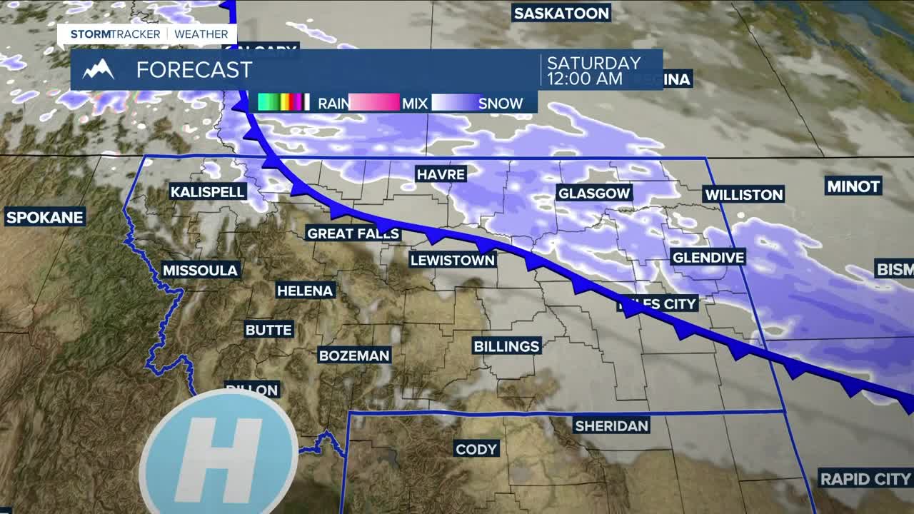
The system will also bring a chance of snow late Friday night through Saturday morning, with the best chance north and east of Billings. For areas that do get snow, up to one inch could accumulate.
Drier conditions return by Saturday afternoon and are expected to stay in place at least through the first half of next week.
Miller Robson
Q2 Morning Meteorologist
miller.robson@ktvq.com
