


BILLINGS — Mountain snow and lower-elevation rain or a rain/snow mix will continue through early Wednesday. The Beartooths and Absarokas could get another 4–8 inches, while the Crazies, Pryors, and Bighorns could pick up another 2–5 inches.
Strong winds will continue to impact the western foothills through Friday. Strong crosswinds and potential gusts between 60–75 mph will be possible at times. Gusts between 30–40 mph (maybe stronger) are possible across the plains during that period.
Daytime temperatures will gradually warm, staying above average through Friday, with highs mainly in the 40s and 50s.
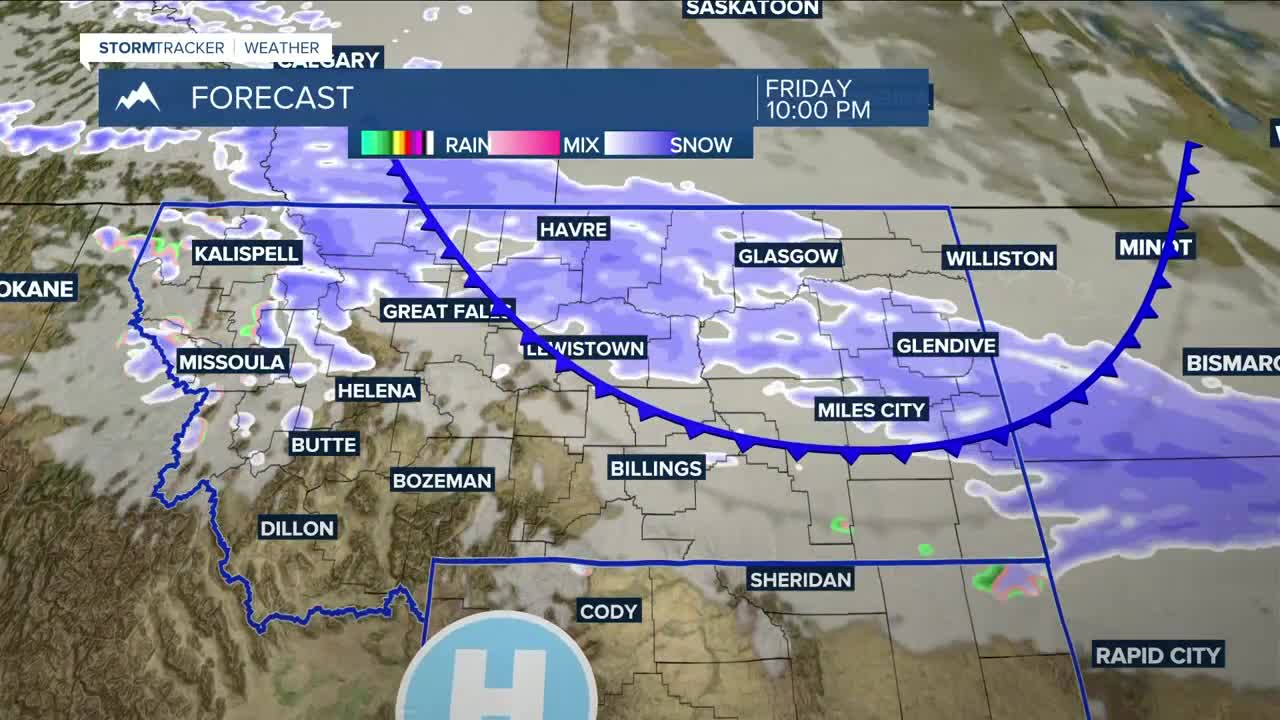
A clipper system is forecast to move through Friday into Saturday, bringing a brief cooldown and a decent chance of more snow in the mountains and rain, possibly snow, at lower elevations. There is still some uncertainty, though.
Drier and warmer conditions are expected to return Sunday, with some locations reaching the low 60s early next week.
Miller Robson
Q2 Morning Meteorologist
miller.robson@ktvq.com
