


BILLINGS — The forecast indicates above-normal temperatures through Thursday, with highs generally in the upper 70s to lower 90s across the region. Daily chances of showers and thunderstorms are expected from Tuesday through Thursday, mainly over the mountains and foothills of south-central Montana and northern Wyoming.
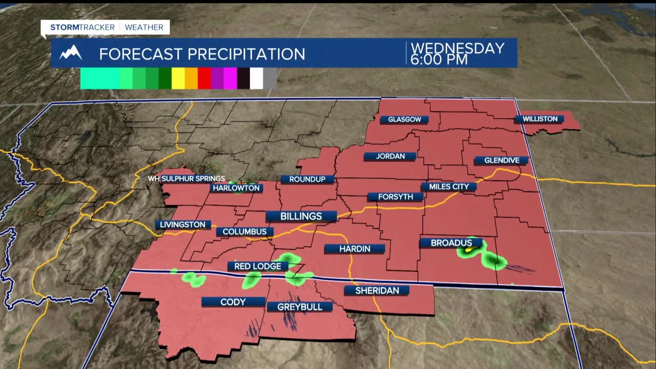
The likelihood increases midweek as a low-pressure system approaches, with a 20%-40% chance of precipitation on Wednesday and a 20%-70% chance on Thursday, potentially leading to isolated severe storms in eastern Montana if the cap breaks.
From Friday into the weekend, the weather pattern shifts with the approach of an upper-level trough, bringing a good chance of widespread moderate to heavy rainfall, a 20%-70% chance for greater than half an inch. There will be enough instability for afternoon and evening thunderstorms, particularly near the North Dakota border.
By Sunday, the trough exits the region, but there's some uncertainty whether this happens early or late in the day, affecting dry conditions or continued unsettled weather into Monday and the middle of next week. Temperatures will decrease slightly for the weekend into early next week, with highs in the low to mid 70s, then warming again to mid 70s to near 80 degrees Fahrenheit early next week.
Wildfire smoke concentrations are expected to decrease from south to north tonight through Wednesday as south to southwesterly winds increase.
