


BILLINGS — A weather system moving through Monday will bring cooler temperatures and some chances for rain or snow, especially for the higher elevations. But both high and low temperatures remain above November averages all week.
The best chances for precipitation Sunday night and Monday will be along the Montana-Wyoming border and in southeastern Montana, especially in the mountains and foothills. Most areas might see very light amounts, adding up to less than a tenth of an inch.
Expect gusty winds overnight in eastern Montana, with gusts reaching 25-35 mph. This week, the unsettled, cool pattern continues through Wednesday with a few more chances for light precipitation. By Thursday, things should start to calm down, but the weekend could bring more unsettled weather.
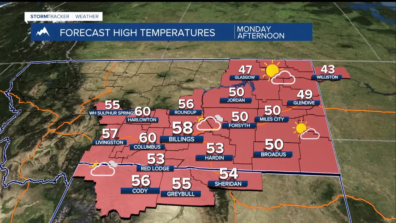
Highs will stay on the cool side compared to last week, but still mild for mid-November. Afternoon highs will reach the upper 40s to 50s throughout the period.
It's going to be a fairly typical late fall/early winter pattern with periodic chances for light precipitation and cooler than normal temperatures and periods of wind. However, indications are strong that colder and wetter weather will arrive for the week surrounding Thanksgiving.
