


BILLINGS — Montana finds itself caught between two very different weather worlds this week, creating a tale of contrasting conditions that will persist well into February.
To our west, a giant dome of high pressure is parked over the western United States, pushing warm air our way. Far to the east around the Great Lakes, a spinning low-pressure system is creating the opposite effect. This leaves Montana in a river of air flowing from the northwest that's bringing us unusually mild conditions but also pulls through clouds and occasional showers.
Places like Livingston, Big Timber, and Harlowton are seeing gusty winds up to 45 mph with the possibility of 50 mph gusts. Heading east toward the Dakotas border, counties are dealing with light snow and flurries, thanks to weak weather disturbances moving through the area.
The north-facing slopes of the Bighorn and Pryor Mountains are particularly active on weather radar, lighting up with snow activity.
Temperatures are running well above normal and will continue to do so through at least the first week of February. Today and Friday, most areas will see highs in the 40s and 50s when the 30s are average for this time of year. The weekend looks even warmer, with 50s widespread and the possibility of hitting 60 degrees next week.
To put this in perspective, Livingston has received just 0.01 inches of precipitation so far this entire month of January – a telling sign of how dry and warm this pattern has become. Two minor weather disturbances will pass through in the coming days, but neither promises significant change.
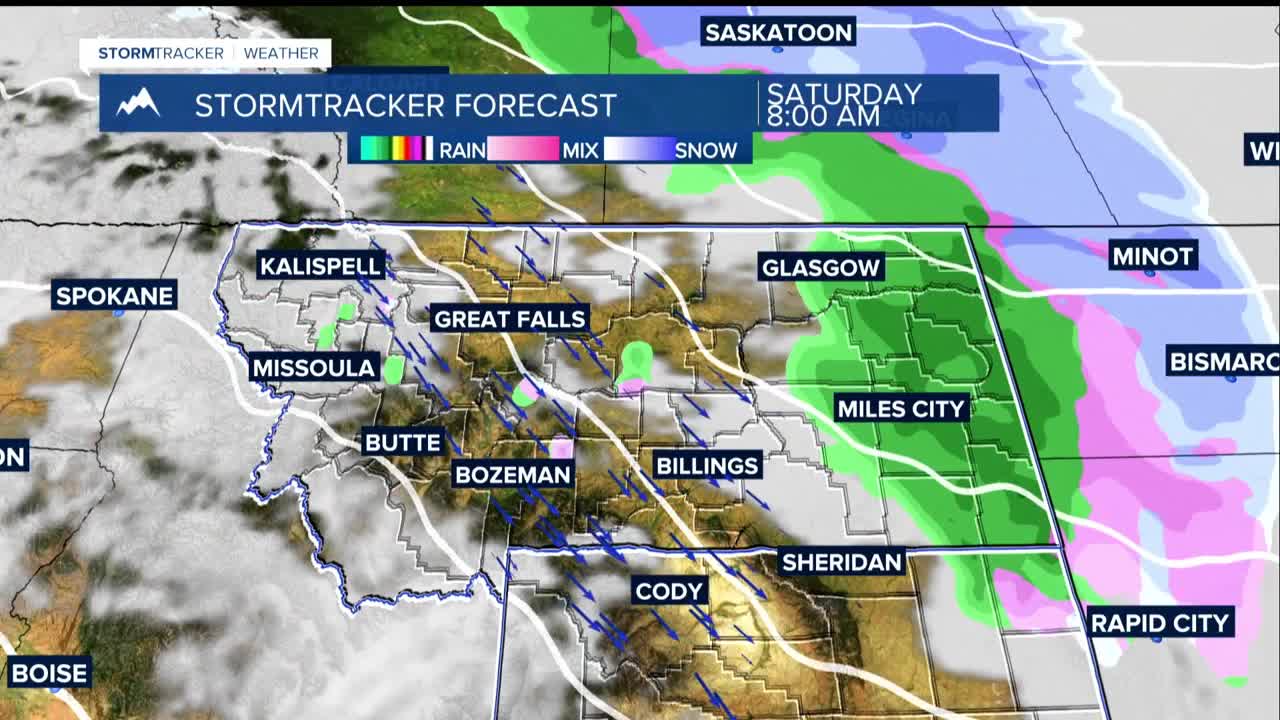
Saturday will bring a "warm" Pacific wave that might produce scattered light rain and snow showers in eastern areas, but little to no accumulation is expected. Monday's system looks a bit more robust, potentially bringing a quick-moving front with scattered rain and snow showers, mainly affecting higher terrain south of Billings.
The Fire Concern Perhaps most concerning for this time of year is the emerging grass fire threat. The combination of warm temperatures, dry conditions, and periodic gusty winds creates a recipe for rapid fire spread.
Weather models are in remarkable agreement that this warm, dry pattern will dominate through at least early February. While there are hints of a potential cool down in the second week of February, for now, Montana residents should prepare for continued spring-like conditions in the middle of winter.
