


BILLINGS — There’s a very low chance for a brief round of freezing rain through 9 a.m. Friday along and just north/south of a Livingston–Billings–Broadus line, so watch for slick spots. Patchy dense fog is also possible.
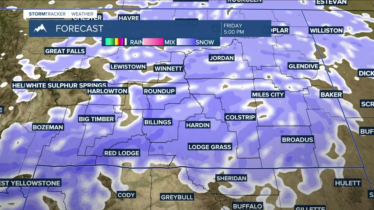
A stronger winter system moves in Friday with widespread snow and a sharp temperature drop into the weekend. A Winter Weather Advisory runs through 5 a.m. Saturday with 2–5 inches for most areas and higher amounts in the mountains and higher hills. Winds gusting 30–45 mph will lead to blowing snow and reduced visibility.
By late Saturday morning, the system exits to the east, leaving the coldest air of the season. Highs fall into the teens and 20s, with Saturday night lows dipping into the single digits above and below zero — coldest in the river valleys north and east of Billings. Sunday stays cold with highs in the teens and 20s and lows in the single digits to low teens.
A weak system clips Idaho and Wyoming Sunday with only a small (10–20%) chance of light snow in the southwest mountains. A warming trend kicks in Monday with highs back into the 30s to near 40 by midweek.
Another trough may arrive Tuesday, though the models disagree on timing. Light rain and snow showers are possible Tuesday into Wednesday, with most spots seeing only a few tenths to around an inch and up to 3 inches in the higher hills of southeast Montana.
Miller Robson
Q2 Morning Meteorologist
miller.robson@ktvq.com
