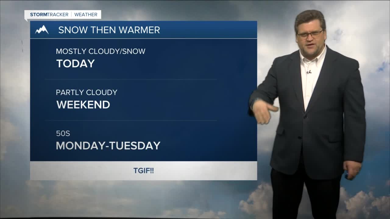


BILLINGS — An area of low pressure (combined with a healthy helping of Pacific moisture) will slide across the state today with the potential of 6-10" of snow across the Crazies/Beartooths/Absarokas by tomorrow morning. Billings and areas east and south could get a light dusting, too. Blowing snow will be an issue at times so watch out for reduced visibility while driving.
As the low passes, winds will pick up this evening from Livingston to Big Timber with gusts over 60 mph possible. Eastern Montana could feel gusts up to 50 mph. Gusts up to 30 mph will be possible tomorrow morning in Billings and in excess of 40 mph along the western foothills. These winds will lessen as the day progresses. Eastern Montana could feel gusts up to 40 mph through Saturday night.
Sunday will be chilly and dry under partly cloudy skies.
Upper ridging (high pressure) will help bring warmer temperatures the first part of next week with highs possibly reaching the mid to upper 50s by Tuesday. This will be the warmest day we've had in awhile.
The mountains could see light snow showers the first part of next week. Another disturbance could pass through the middle of the week bringing a chance for light rain or snow to the lower elevations along with a cool down. It's still too early to say for sure at this point.
Daytime highs will be in the 20s/30s through the weekend then 40s/50s early next week.
Nighttime lows will be in the 10s/20s tonight, mainly teens across the weekend then 20s/30s early next week.
-Miller Robson
Q2 Morning Meteorologist
miller.robson@ktvq.com
