


FRIDAY: Warming today with sun and a few clouds. Most of the highs will be in the mid-50s to mid-60s, but breezy to windy.
FRIDAY EVENING: A cold front moves through bringing scattered showers and gusty winds. Expect wind gusts of 35-45 mph across eastern Montana this afternoon, with even stronger gusts of 40-50 mph possible in western foothill areas like Livingston and Big Timber. Light snow is expected in the mountains above 6,000 feet.
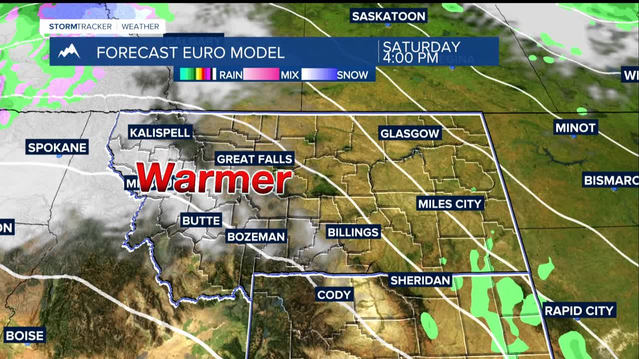
SATURDAY: Relatively quiet with highs in the 50s. Another round of strong winds Saturday night into Sunday morning ahead of the next weather system. There's a 60% chance of gusts reaching 50 mph, with a 40% chance they could hit 60 mph in the Livingston and Nye areas.
SUNDAY: another chance of precipitation, mainly affecting mountains and western foothills. The lower elevations, including Billings, could get showers by Sunday evening. Highs are back up to the upper 50s to 60s.
LOOKING AHEAD: Conditions turn drier and warmer Tuesday through Thursday as high pressure builds in.
