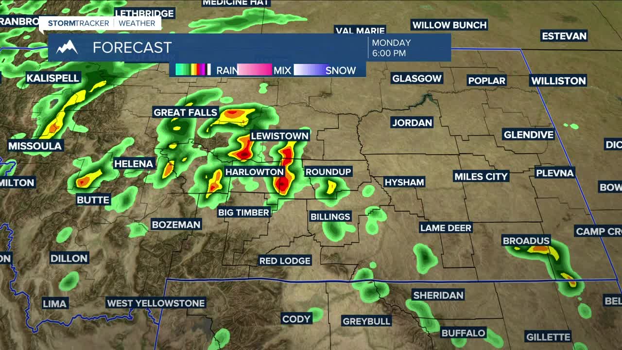


BILLINGS — A good chance of showers and thunderstorms remains in the forecast on Monday as more moisture surges into the area. Some storms could turn strong to severe during the afternoon into the evening, with gusts up to 65 mph and hen egg-sized hail the main threats, especially in areas north-northeast of Billings. Some locations may also see periods of heavy rain. Monday's highs will range from the mid-80s to low 90s.
A shortwave disturbance will bring a chance of more strong to severe weather Tuesday afternoon into the evening, with gusty winds and small hail possible. Highs will be cooler, with temperatures in the low to mid-80s.
A cold front will drop through on Wednesday, keeping a chance of showers and thunderstorms in the area. The atmosphere will be worked over pretty well by then, so widespread severe storms are not expected, but a few will still be possible in southeastern Montana and northeastern Wyoming. Wednesday's highs will be in the upper 70s to low 80s.
High pressure will bring mainly dry conditions on Thursday, but a few showers and thunderstorms could pop up across southern Montana and northern Wyoming. Highs on Thursday will increase into the mid to upper 80s.
As of now, we can expect dry and warm-to-hot weather on Friday and through the weekend as daytime highs climb back into the 90s.
Nighttime lows will be in the 50s and 60s through the weekend.
Miller Robson
Q2 Morning Meteorologist
miller.robson@ktvq.com
