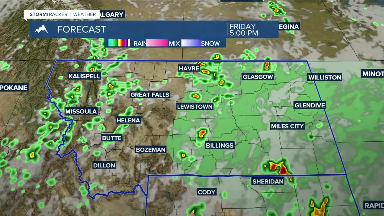


BILLINGS — A chance for strong to severe thunderstorms continues on Friday, generally for the same areas as on Thursday, as an upper-level trough over the Great Basin pushes more instability into the region. It will be cooler, so these storms are expected to be more isolated than widespread. Gusty winds up to 65 mph, quarter-sized hail, and periods of heavy rain that could lead to flash flooding in susceptible areas will be possible with any storms that do develop. Daytime highs will be in the mid-70s west to lower 80s east.
The best chance for rain is overnight Friday into Saturday morning as the core of the upper low moves through. By Saturday afternoon and evening, most of the upper-level energy will shift north, reducing rain chances. Areas east of Yellowstone County will have the best chance of picking up a half inch or more of rainfall through Sunday morning, while Billings and areas farther west could see up to a quarter inch. Northern Wyoming could pick up a quarter to half an inch.
The low should leave the area on Sunday, but a few showers and thunderstorms could pop up in its wake. Another disturbance is expected to move into western Montana late Monday into Tuesday, keeping the region in an unsettled pattern with near-normal temperatures.
High temperatures will be in the low to mid-70s on Saturday, mid-70s to near 80 degrees on Sunday, upper 70s to low 80s on Monday, then upper 60s to mid-70s on Tuesday.
Overnight lows will be mainly in the 40s and 50s through late next week.
Miller Robson
Q2 Morning Meteorologist
miller.robson@ktvq.com
