


BILLINGS — A weather system moves through the region late Monday night into Tuesday morning, bringing with it a potentially messy mix of precipitation types that could create some travel headaches.
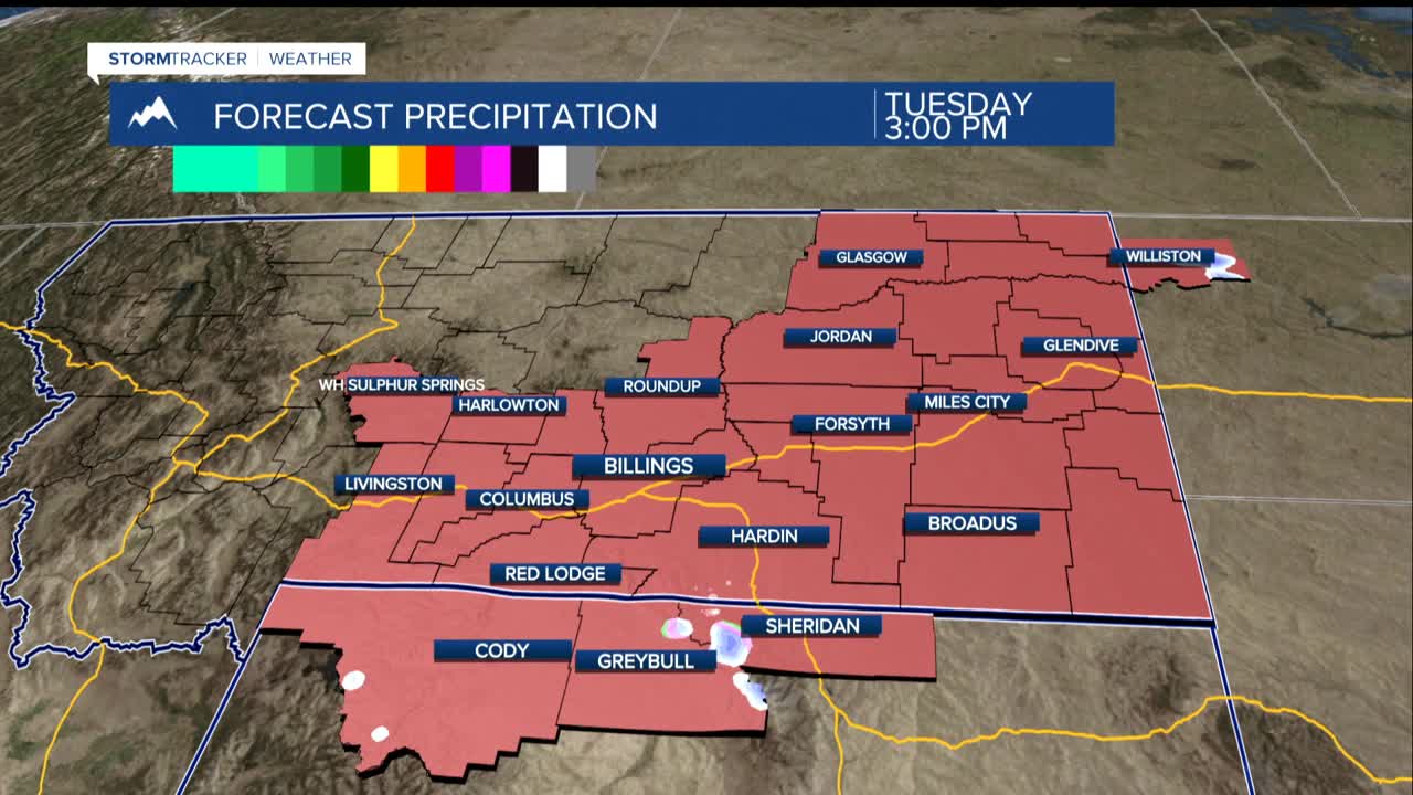
The most significant impacts will be felt near the Pryor and Bighorn mountains and their surrounding foothills with precipitation chances ranging from 40 to 70 percent. Accumulations will range from a light dusting to an inch in the lower foothills, while the Bighorn and Pryor mountains themselves could pick up as much as three inches of fresh powder.
For the lower elevations, rain showers or mixed precipitation are more likely. The most concerning aspect of this weather system lies in southeastern Montana, where residents from Miles City to Baker and Ekalaka may get a brief period of freezing rain. This icy threat should be short-lived as temperatures quickly warm and turn everything back to regular rain, even a brief coating of ice can make roads treacherous for the morning commute.
Residents along the western foothills should brace for periods of gusty winds reaching 40 to 50 mph from late Monday evening through sunrise Tuesday, particularly around Livingston and Nye.
However, this warm, dry, and windy combination is raising red flags for fire weather concerns. With grass fire risks elevated across the region throughout the week, exercise extra caution with any outdoor burning activities and be prepared for rapidly changing fire conditions should any blazes spark up.
