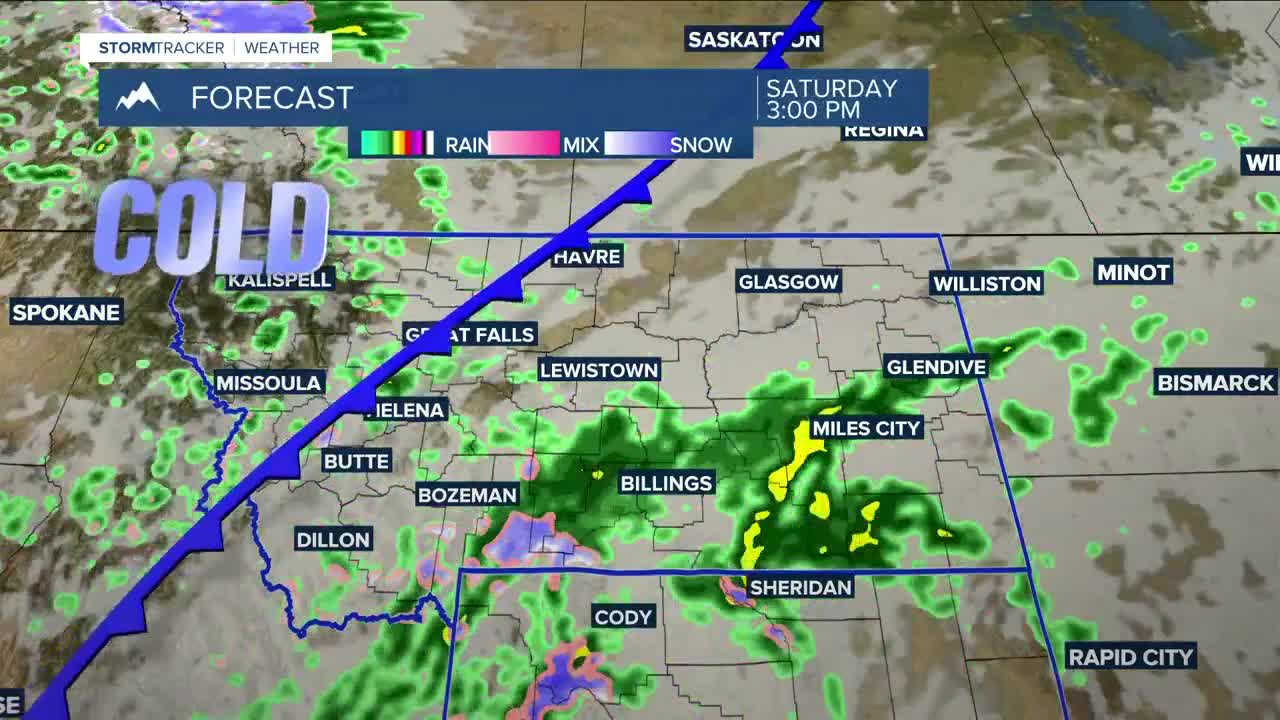


BILLINGS — As the trough approaches, precipitation chances will increase in our western counties on Friday, before rain spreads across the rest of the area by late Friday night as the weather pattern shifts to wetter and colder. Daytime highs will be in the mid-70s west to low-80s east on Friday.
Widespread rain is expected Saturday morning through Sunday evening, with much of the area having a very good chance of receiving up to half an inch. A blend of models shows southern MT/northern WY could push closer to around one inch.
Snow is coming to the area's mountains over the weekend, where Winter Storm Watches will be in effect. There is a very good chance of getting well over 6 inches above 9,000 feet in the Beartooths, Absarokas, and Bighorns by Sunday evening. Snow levels could dip under 6,000 feet Sunday into Monday morning, giving the foothills, including Red Lodge, a chance of a few inches. Cooke City could pick up 4–8 inches.
The Beartooth Highway will be closed Friday, starting at noon, due to forecasted winter weather. Maintenance crews will assess conditions the week of October 6 and determine whether the road will reopen. The highway will be closed at Vista Point on the Wyoming side. Be sure to stay updated if you have plans in the mountains or foothills this weekend.
Dry conditions return on Monday as the system moves east. Tuesday and Wednesday will be dry ahead of another possible system that could bring rain back into the forecast by Thursday.
Daytime highs will be in the mid-50s west to mid-60s east on Saturday, mid-40s west to mid-50s east on Sunday, mainly in the mid-50s on Monday, upper 50s to mid-60s on Tuesday, then mid to upper 60s on Wednesday.
Nighttime lows will be mainly in the 40s and 50s Friday night, cooling to the 30s and 40s Saturday night, then dipping to the 20s and 30s Sunday and Monday nights. Many areas could see their first frost of the season during those nights, while river valleys could see a freeze.
Miller Robson
Q2 Morning Meteorologist
miller.robson@ktvq.com
