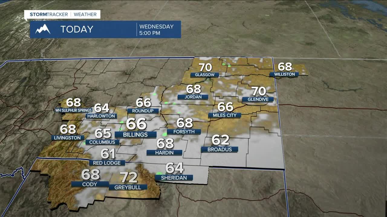


BILLINGS — Wednesday will be another colder-than-average day (maybe a few record cool highs?) with daytime temperatures in the 60s, as rain begins to move away from west to east as the trough makes its way into the Dakotas. Most of the precipitation should be out of the Q2 viewing area by early afternoon.
Although the rain will be gone, lingering moisture could produce a foggy start on Thursday morning ahead of a beautiful day with lots of sunshine, as drier and warmer weather begins to settle in. Highs will be in the upper 70s to mid-80s.
Models show a shortwave disturbance zipping through the area Thursday night into Friday morning, bringing a slight chance of rain and maybe a few isolated thunderstorms into Friday. Otherwise, Friday should be another day with a healthy dose of sunshine for many locations. Daytime highs will be similar to Thursday.
High pressure takes over for the weekend, so expect mainly dry conditions with warm-to-hot highs in the mid-80s to low 90s on Saturday and Sunday. A few late-day showers and thunderstorms could pop up.
Looking ahead to next week, a majority of models are forecasting a Pacific trough impacting the region Monday through Wednesday, which could produce another round of decent rainfall and cooler temperatures again. Severe storms may also be possible. It will be interesting to see how the models evolve over the next few days. We'll keep you posted.
Miller Robson
Q2 Morning Meteorologist
miller.robson@ktvq.com
