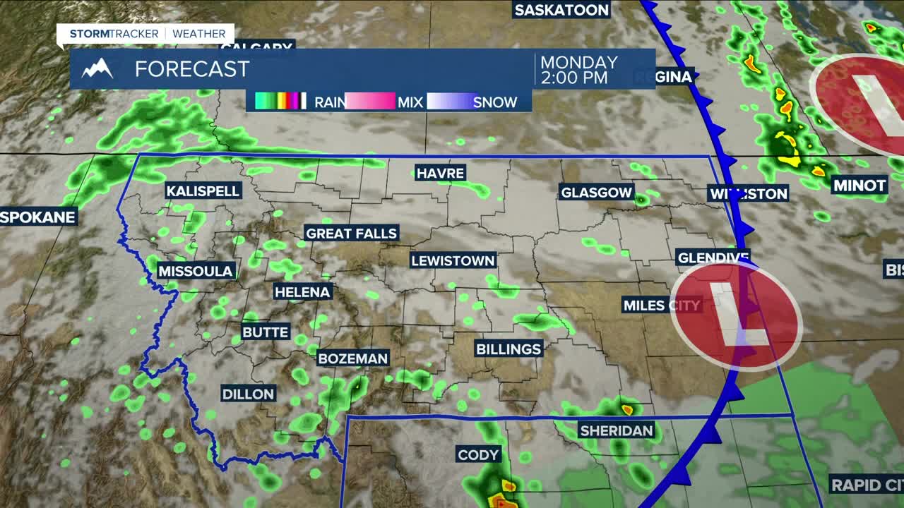


BILLINGS — Keep the umbrella handy on Monday as rain chances will increase through the day due to a low-pressure system and a surface cold front moving through. Some storms could produce locally heavy rainfall and gusty winds. Daytime highs will be in the mid-60s west to low-80s east.
Temperatures could drop to or below freezing in the Absarokas/Beartooths Monday night into Tuesday morning. The Beartooth Highway could pick up 1–3 inches through Wednesday morning, down to around 10,000 feet. Higher peaks could get up to 6 inches.
A chance of showers and weak thunderstorms continues on Tuesday. Daytime temperatures will be cooler behind the cold front, with highs in the upper 60s to low 70s.
Much of the area could pick up between a quarter to a half inch of rainfall through Wednesday morning, with the highest amounts in the mountains and in locations east and south of Billings.
Some lingering rain is possible on Wednesday, especially in southeastern Montana and northeastern Wyoming. Models are pointing to drier conditions Thursday into the weekend. There is still some uncertainty, so for now only minimal rain chances are expected.
Daytime highs will be mainly in the 70s through Saturday, with some low-80s possible by Sunday.
Overnight lows will be mainly in the 40s and 50s through Thursday night, then mainly in the 40s through the weekend.
Miller Robson
Q2 Morning Meteorologist
miller.robson@ktvq.com
