


BILLINGS — After a mild fall, winter weather is making its debut during one of the busiest travel weekends of the year. Here's what to expect:
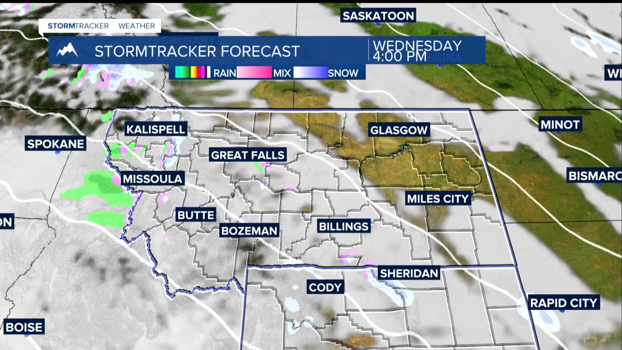
Wednesday (Travel Day): A quick-moving storm system will bring light snow to the mountains, with a few flakes possible even in lower elevations like Billings. While only a dusting is expected in most areas, any snow could create slippery conditions on mountain passes during peak travel time.
Thanksgiving Day: Mostly quiet weather with temperatures around normal regionally and near 40° in Billings. Light snow showers possible in mountain areas but minimal impact expected until late in the day.
Friday through Weekend: The main event arrives Friday as a much stronger storm system moves in. This could bring the first widespread snowfall of the season, with several inches possible across the region. The Billings area has a 50% chance of receiving at least 3 inches through Saturday night, with higher amounts likely in the foothills.
Next Week: We are getting WAY out there, but another potential winter storm system for Monday through Wednesday.
