


BILLINGS — A steady stream of clouds will move in from the Pacific Ocean, keeping skies mostly cloudy. However, most areas east of the Continental Divide will stay fairly dry with only a 10-30% chance of precipitation in the coming days. This is because winds will be flowing downhill from the mountains, which typically creates drier conditions.
The west-facing slopes of the mountains will see nearly continuous light snow throughout the work week, accumulating 4-8 inches total. The downslope wind pattern will create gusty conditions Wednesday night into Thursday.
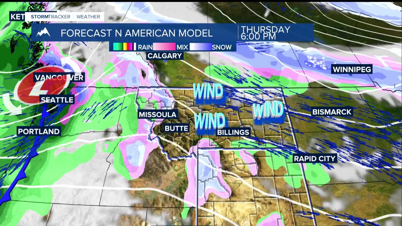
Strong winds will develop in the upper Yellowstone and Stillwater river valleys, with potential gusts up to 60 mph in Paradise Valley as a weather front moves through late Wednesday night. In the Red Lodge area, mountain wave winds could gust 30-45 mph around sunset Wednesday, peaking after midnight.
Thursday, the Livingston-Nye and Big Timber-Harlowton areas could gust 40-50 mph, with a decent chance of 60 mph gusts around midday.
A high-pressure ridge building along the West Coast will shift the weather pattern, allowing cooler Canadian air to move into the northern plains. By Friday night, this will bring the best chance for precipitation but amounts will be less than a tenth of an inch.
Saturday: Cooler temperatures with highs in the upper 30s to low 40s east, 50s west, with possible light snow in southeast Montana during the morning.
Sunday morning: Lows could drop into the mid-teens around Baker. The downslope wind pattern returns Monday, bringing warmer, drier conditions with temperatures jumping back into the 50s and lower 60s, along with breezy westerly winds.
