


BILLINGS — Periods of wind 40-60 mph close to the mountains Tuesday evening will ease with a few area showers ending. Expect a quiet overnight with mild temperatures mainly in the 30s early Wednesday across southern Montana and northern Wyoming.
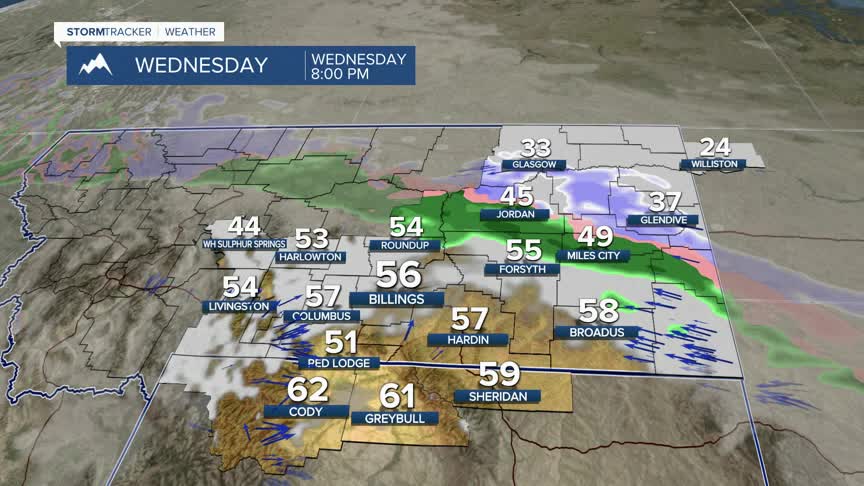
A cold front moves into the area from the northeast Wednesday afternoon bringing some light rain in south-central Montana, then a rain/snow mix in eastern Montana Wednesday night. The system will stall out and there is some freezing rain potential near Miles City and Baker.
Highs Wednesday will be mainly in the mid-50s, or about 10 degrees above the early March average despite some cloud cover. Thursday will trend slightly cooler.
A colder and wetter pattern moves in by the end of the week, lingering into next week. A cold front drops through the area on Friday, knocking afternoon temperatures to the 30s. Enough moisture is moving into the region to bring accumulating snow to the area Friday night through Saturday with lingering showers on Sunday.
There is a good probability of 2 inches or more of snow across much of the area, with greater totals towards the foothills and mountains. Drier conditions return Sunday and Monday before another shot of colder temperatures and accumulating snow is possible late Tuesday.
