


BILLINGS — Eastern Montana and northern Wyoming are in for a wild weather week with strong winds and mountain snow taking center stage.
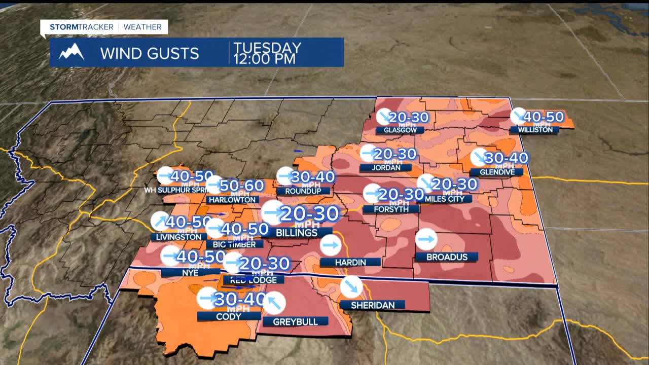
Gusts of 65 to 75 mph are expected Monday night through Tuesday morning in the Livingston and Nye areas. These winds will briefly calm Tuesday afternoon before ramping up again Wednesday as a weather system moves through the region.
The most dangerous conditions will hit Wednesday, when extremely strong winds are forecast from Big Timber to the Judith Gap area. Wind gusts exceeding 70 mph are possible, similar to the recent severe wind event that caused significant problems in the Big Timber area.
Drivers should be especially cautious on Highway 191, where crosswinds could make driving dangerous for high-profile vehicles like trucks, RVs, and trailers. The strong winds will spread across the entire region Wednesday afternoon and evening, including areas from Billings to the east.
While the plains deal with wind, the mountains will see snow. The Beartooth, Absaroka, and Crazy Mountains could pick up several inches Wednesday, with the heaviest amounts on west-facing slopes. There's a chance for a foot or more of snow in some mountain areas by the weekend when a second wave moves through the area.
Expect mild temperatures in the 40s and 50s early in the week, dropping to the 30s and 40s after Wednesday's cold front moves through. Friday will trend a little warmer, followed by mainly 30s and some low 40s over the weekend.
The combination of rapid snowmelt from recent warm weather and new precipitation could also lead to minor flooding concerns in some areas. Fortunately the ground is not frozen or saturated so problems should be limited.
