


BILLINGS — Overnight, some storms might develop in the northeast portion of Montana due to easterly winds, but it’s uncertain. There’s about a 60% chance of fog in the far east late tonight and early Monday after heavy rain.
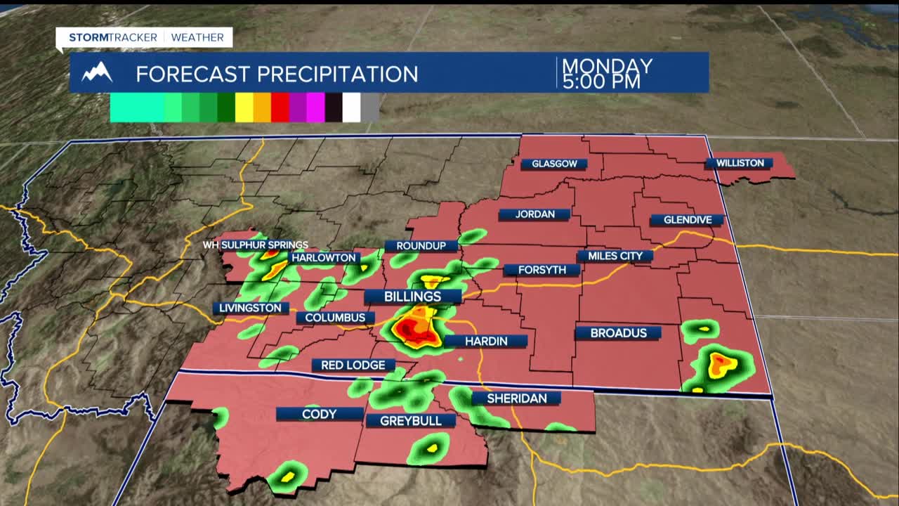
Monday, a weather system from the Pacific will bring warm, moist air, leading to showers and thunderstorms in the afternoon. Strong storms with heavy rain could affect the whole area. Cooler air will move in later, decreasing humidity and potentially bringing fog and low clouds.
Most of eastern Montana and northern Wyoming will reach the 80s to low 90s Monday. From Tuesday to Thursday, more storms are expected, especially on Tuesday afternoon when conditions are right for strong thunderstorms.
Rainfall chances are around 40% to 70%, with heavier rain possible with stronger storms. By Thursday, the weather should dry out a bit, but there’s still a small chance of showers at the Montana-Wyoming border.
Temperatures for Tuesday and Wednesday will be a bit cooler, in the 70s to low 80s, but will warm back up to near normal in the 80s to low 90s by the weekend, possibly hitting mid-90s in some places.
