


BILLINGS — Early Sunday was quite chilly in the eastern plains of Montana and through North Dakota. Williston, ND dropped to just 2 above. Billings was much less cold, but 24 degrees for a low was the lowest reading at the Billings airport since March 15, 2025.
Afternoon temperatures were in the 30s in eastern Montana, while western locations, including Billings, had milder 50-degree weather.
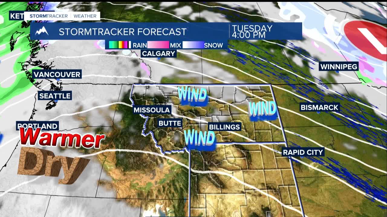
Starting Monday, temperatures will climb back above normal levels and stay that way through Thursday. However, residents in foothill areas should prepare for strong, gusty winds on Monday and Tuesday with peak winds of 60 mph or higher possible.
Highs will be in the 50s to low 60s through Friday in most of the lower elevations. Lows will be in the 30s and low 40s and mostly dry. A fast-moving weather system will sweep through the area on Tuesday, bringing breezy conditions and some light rain showers.
We are tracking a potential shift toward cooler temperatures and more significant rainfall starting Friday, which could bring the first meaningful precipitation in quite some time. This change will likely get t hose wind gusts going again.
