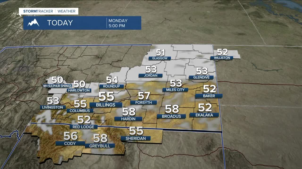


BILLINGS — The week starts off on a dry note with highs on Monday in the low to mid-50s under mainly sunny skies, ahead of a series of shortwaves that will move through the region every couple of days this week that could bring light precipitation from time to time.
The first disturbance is expected to arrive on Tuesday, bringing light rain, a few inches of mountain snow above 8,500 feet in the Beartooths and Absarokas, and breezy to windy conditions, especially along the western foothills. The next disturbance is forecast to sweep through Wednesday evening into Thursday, again bringing only light rain, mountain snow, and breezy to windy conditions, mainly along the western foothills. Models suggest another system moving through late Friday into Saturday that could bring a much better chance of widespread lower-elevation rain and a few inches of mountain snow.
There will also be periods of strong winds this week. Gusts up to 50 mph will be possible along the western foothills Tuesday morning, Wednesday evening through Thursday evening, and again late Friday night into Saturday morning, with gusts up to 30 mph or more elsewhere.
Daytime highs are expected to be milder than average this week, with temperatures in the mid to upper 50s most days. Some models are showing a cooldown for the weekend, with highs in the 40s and 50s.
Nighttime lows will be mainly in the low to mid-30s Monday and Tuesday nights, mid-30s to low-40s on Wednesday night, low to mid-30s on Thursday and Friday nights, then upper 20s to low 30s across the weekend.
Miller Robson
Q2 Morning Meteorologist
miller.robson@ktvq.com
