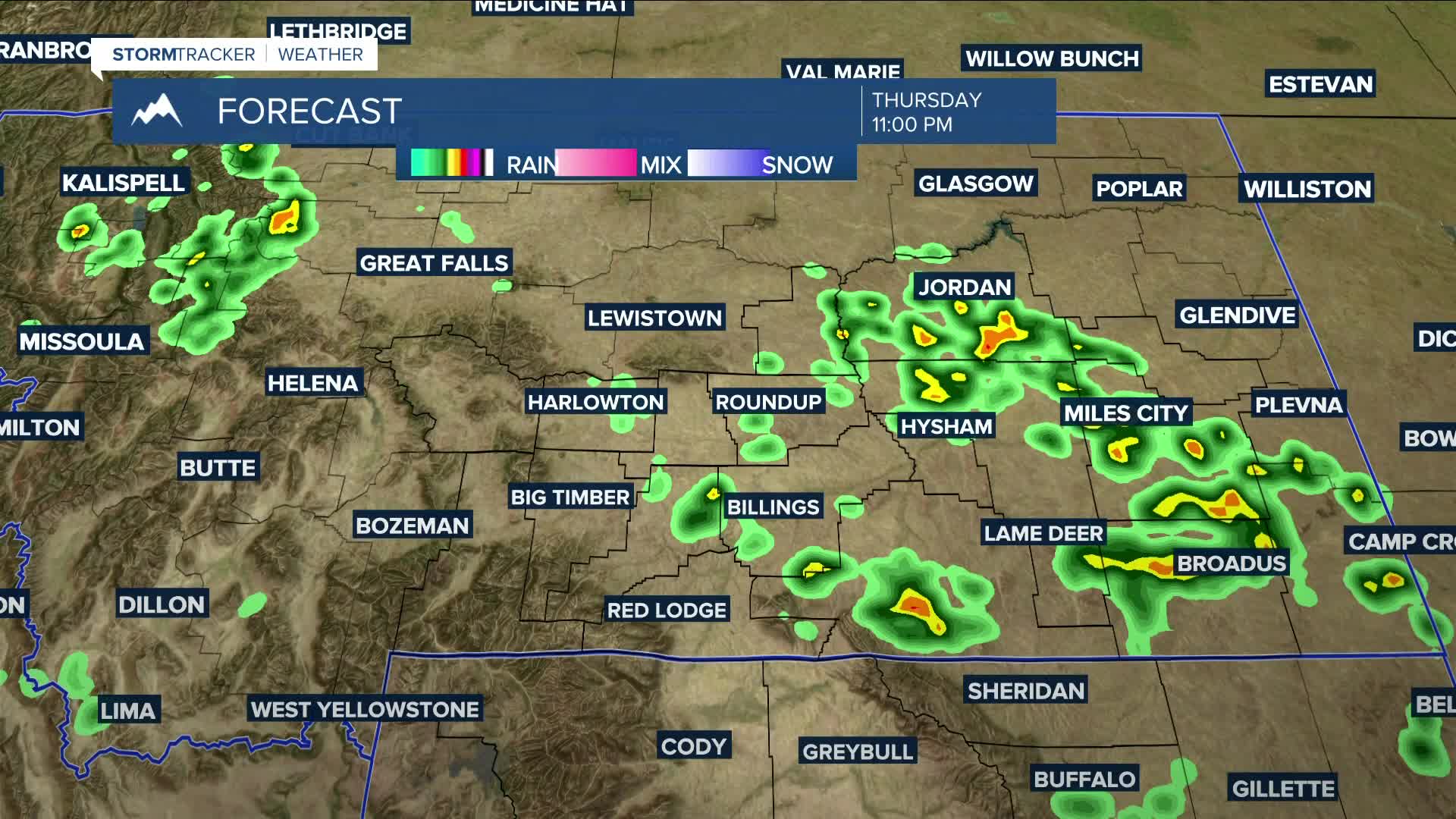


BILLINGS — Daytime temperatures will be warmer on Thursday but still below average, with highs ranging from the upper 70s to mid-80s. With ample atmospheric moisture still in place, chances for scattered showers and thunderstorms will continue during the afternoon and evening. Some storms could turn strong or even severe—especially in north-central WY, including Sheridan—with heavy rainfall and small hail being the main threats. Flash flooding remains a possibility, especially in flood-prone areas and burn scars. Isolated storms could also produce strong winds.
Southwest flow will help drive several disturbances across the region into next week, keeping daily chances for precipitation in the forecast. However, a brief break from the rain is possible on Monday as high pressure takes hold before another trough moves through Tuesday into Wednesday. Heavy rainfall will remain a concern.
Generally cooler-than-normal temperatures are expected through the middle of next week, with highs mainly in the 80s.
Nighttime lows will be in the 50s and 60s.
Miller Robson
Q2 Morning Meteorologist
miller.robson@ktvq.com
