


BILLINGS — A weak disturbance is bringing light rain to far eastern Montana Monday morning, with a quick window of freezing rain near Miles City. Temps warm quickly in the southwest of there, so any icing should be brief.
Gusty winds continue along the western foothills — Livingston hit 58 mph and Nye reached 60 mph — so the Wind Advisory remains through this afternoon.
The bigger wind threat kicks in Monday night through Tuesday. High Wind Warnings and Watches will be in effect across much of the area with gusts 75–80 mph from Livingston to Nye and 50–60 mph gusts possible elsewhere. Winds ease quickly behind Tuesday’s front, but another round of foothill winds is possible Wednesday into Wednesday night, but lighter — around 40–50 mph.
Ample Pacific moisture targets the northern Rockies this week, favoring heavy snow in the Beartooth–Absarokas. A Winter Storm Warning is up tonight through Wednesday with 1–2 feet on west-facing slopes, and more snow likely late week. Avalanche danger near Cooke City will increase.
Lower elevations get occasional rain and snow Wednesday and Thursday with little accumulation, but a stronger snow chance arrives Thursday into Friday as a Canadian cold front drops in. Exact placement of the heavier snow is still uncertain, but an overrunning setup could favor areas east of the foothills and Billings could get hit as well.
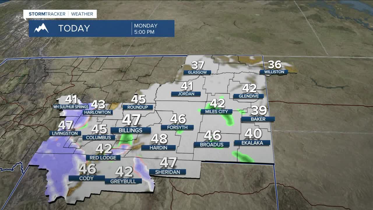
Mild 40s to mid-50s hold through Wednesday before temps crash into the single digits and teens by late week. After that, models lean toward a warmer downslope pattern returning Sunday into next week.
Miller Robson
Q2 Morning Meteorologist
miller.robson@ktvq.com
