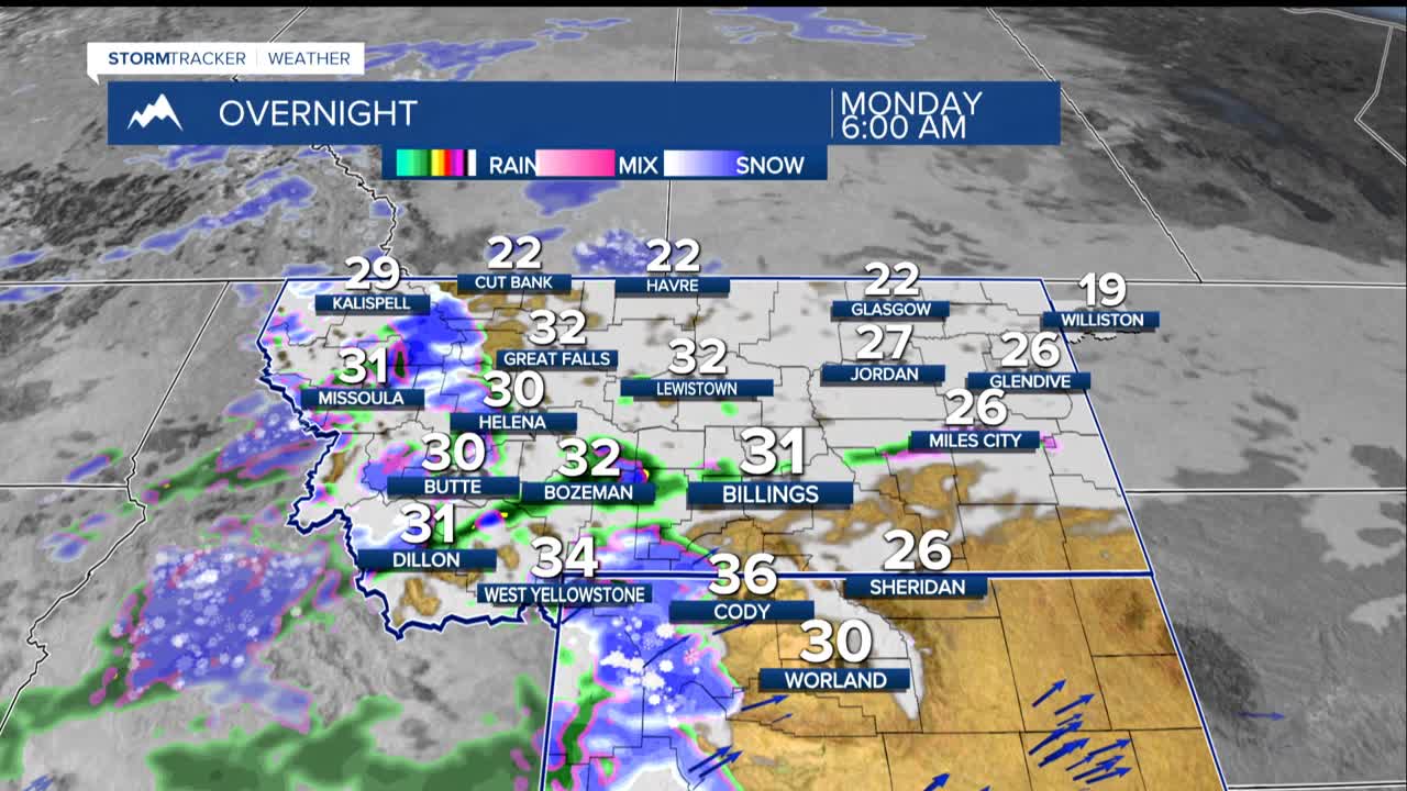


BILLINGS — A winter weather system is bringing a messy mix of snow, rain, and freezing rain to Montana and northern Wyoming through Monday. This will creating potentially hazardous travel conditions across the region.
The most significant concern is freezing rain, which could create slick, icy roads from Sunday evening through Monday morning. The areas at highest risk include highways around Big Timber, Livingston, and the routes connecting these communities.
Use particular care on Highway 191 from Big Timber to Judith Gap, Interstate 90 from Livingston to Reed Point, and Highway 89 from Livingston to Wilsall.
While ice accumulations will be light (up to about 0.05 inches), even thin layers of ice can make roads extremely dangerous. The freezing rain risk is highest with up to a 75% chance around Big Timber and Melville Sunday evening.
Meanwhile, mountain areas are getting hit hard with snow. The Absaroka-Beartooth Mountains could see 1 to 3 feet of fresh powder, while the Crazy Mountains may receive 8 to 15 inches. A Winter Storm Warning remains in effect for these mountain ranges through Monday afternoon.
Warmer weather is on the way. Temperatures are expected to climb above normal starting Monday and continue through the week, with Wednesday potentially reaching the 40s to lower 60s in some areas and likely the warmest day of the week.
Travelers should use extra caution on western Montana highways through Monday morning, especially during evening and overnight hours when temperatures drop below freezing.
