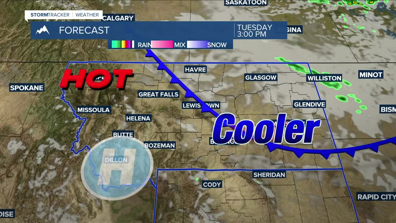


BILLINGS — Tuesday will be another warmer-than-average day, with highs in the mid-80s to lower 90s. Skies will remain hazy as wildfire smoke continues to blanket the region. Those with respiratory ailments should continue to monitor the air quality before stepping outside over the next few days.
A cold front will bring a chance of light showers Tuesday afternoon into the evening across the eastern plains, with only minimal accumulation expected. Behind the front, daytime highs will range from the upper 80s in the west to the upper 60s in the east on Wednesday, with dry conditions and hazy skies.
Daytime highs will be in the 70s and 80s on Thursday, but another cold front moves through by the evening, cooling highs down into the mid-60s to mid-70s on Friday. The front will bring windy conditions to most of the area on Thursday with gusts between 30-45 mph, especially across the eastern plains.
An upper-level disturbance will bring a slight chance of rain over much of the area Saturday and Sunday, but the western mountains and foothills will have a better chance of precipitation.
Daytime highs across the weekend into early next week will be in the mid-70s to low-80s.
Nighttime lows will be in the 40s and 50s through the weekend.
Miller Robson
Q2 Morning Meteorologist
miller.robson@ktvq.com
