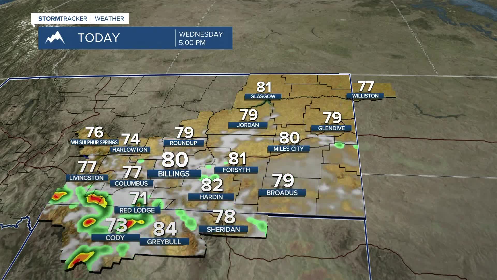


BILLINGS — The atmosphere has had a good working over the last few days, so the severe weather threat shouldn’t be as robust on Wednesday. Still, a threat does remain. Ample moisture continues to pump into the region, keeping a chance of showers and thunderstorms in the forecast—some of which could turn strong to severe, with heavy rain being the main threat. Slow-moving storms could pose a risk to burn scars and other flood-prone areas. Flash flooding is possible. Storms could also produce hail and strong wind. Daytime highs will stay below average in the 70s and 80s.
Several weak shortwaves and plentiful atmospheric moisture will keep an unsettled weather pattern in place, so daily precipitation is possible through early next week. While the threat of severe weather will lessen, the chance for periods of heavy rainfall will remain. Areas prone to flooding, including burn scars, should monitor the forecast over the next few days, as flash flooding will be possible.
Generally cooler-than-normal temperatures are expected through early next week, with daytime highs ranging from the upper 70s to mid-80s most days, although temperatures could flirt with the low 90s in some locations on Friday and Saturday.
Nighttime lows will be in the 50s and 60s through early next week.
Miller Robson
Q2 Morning Meteorologist
miller.robson@ktvq.com
