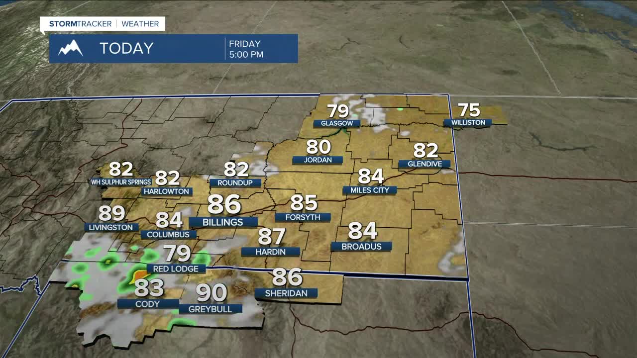


BILLINGS — We can expect more sunshine and mainly dry conditions on Friday, with daytime highs back in the 80s. A weak disturbance is forecast to zip through during the late afternoon, bringing a chance of showers and thunderstorms with some storms possibly turning strong to severe. Gusty winds and hail will be the main concerns. Skies should clear up rather quickly by late evening, making for a quiet night with lows in the mid-50s to lower 60s.
It will be warm to hot and mainly dry across the weekend, with highs climbing into the low 90s for many locations across the area. A few showers and thunderstorms will be possible during the afternoon and evening hours on both Saturday and Sunday. A few storms could turn strong to severe across the eastern plains on both days.
Skies could be hazy at time as wildfire smoke out of the west will spread across the region over the next few days. Monitor
Looking ahead to next week, a Pacific trough is forecast to make its way into the region as early as Sunday night, keeping a chance of showers and thunderstorms in the area through the middle of next week before high pressure brings dry conditions back in Thursday through the rest of the week.
As for temperatures, a blend of models shows cooler readings Monday through Wednesday, with highs in the low-to-mid 80s. Warmer temperatures return, with highs in the lower 90s by Thursday.
Miller Robson
Q2 Morning Meteorologist
miller.robson@ktvq.com
