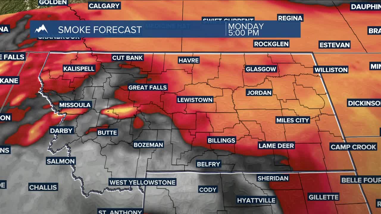


BILLINGS — We can expect hazy to smoky skies on Monday, with mainly dry conditions and daytime highs generally in the mid-80s, and some eastern counties pushing near 90°.
Hazy to smoky skies remain on Tuesday, with highs mainly in the mid-80s. Southwest flow will bring a chance of showers and thunderstorms to our western counties late Tuesday into the evening.
Southwest flow continuing from a West Coast trough will bring chances of daily shower and thunderstorm activity through the weekend. There is potential for some storms to turn strong or even severe on Wednesday and Thursday, producing gusty winds and periods of heavy rain. A bigger push of moisture could make for a soggy Friday and Saturday.
Daytime highs will be in the mid-80s to around 90° on Wednesday, mainly mid to upper 80s on Thursday, mid-70s to low 80s on Friday, upper 60s to low 70s on Saturday, then low to mid-70s on Sunday.
Nighttime lows will be mainly in the 40s and 50s through the weekend.
Miller Robson
Q2 Morning Meteorologist
miller.robson@ktvq.com
