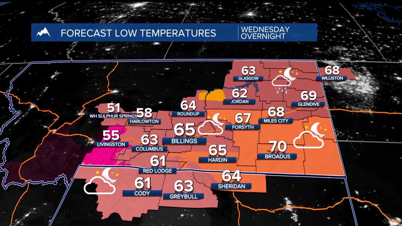


BILLINGS — Eastern areas of Montana into the Dakotas continued to see hot and dry conditions Wednesday afternoon. Clouds building up from Billings to the west have brought isolated thunderstorms moving toward the northeast through the evening.
Any storms may bring strong wind gusts but not much rain. A cold front arrives late tonight, which could bring some storms to counties north of Billings.
Thursday and Friday: Much cooler weather arrives. Highs will be mainly 75-85 degrees with lows in the 50s. The best chance for rain and thunderstorms will be Thursday night into Friday morning, favoring southeast Montana and northeast Wyoming. Most other areas will stay dry.
Great late summer weather ahead for the weekend through at least Wednesday. High temperatures stay pleasant, consistently reaching 75 to 85 degrees with very little chance of rain across most areas.
Easterly winds will keep things comfortable tapping into a significant cool down in the midsection of the country. A weather pattern will keep cooler Canadian air flowing south, preventing hot temperatures from returning.
