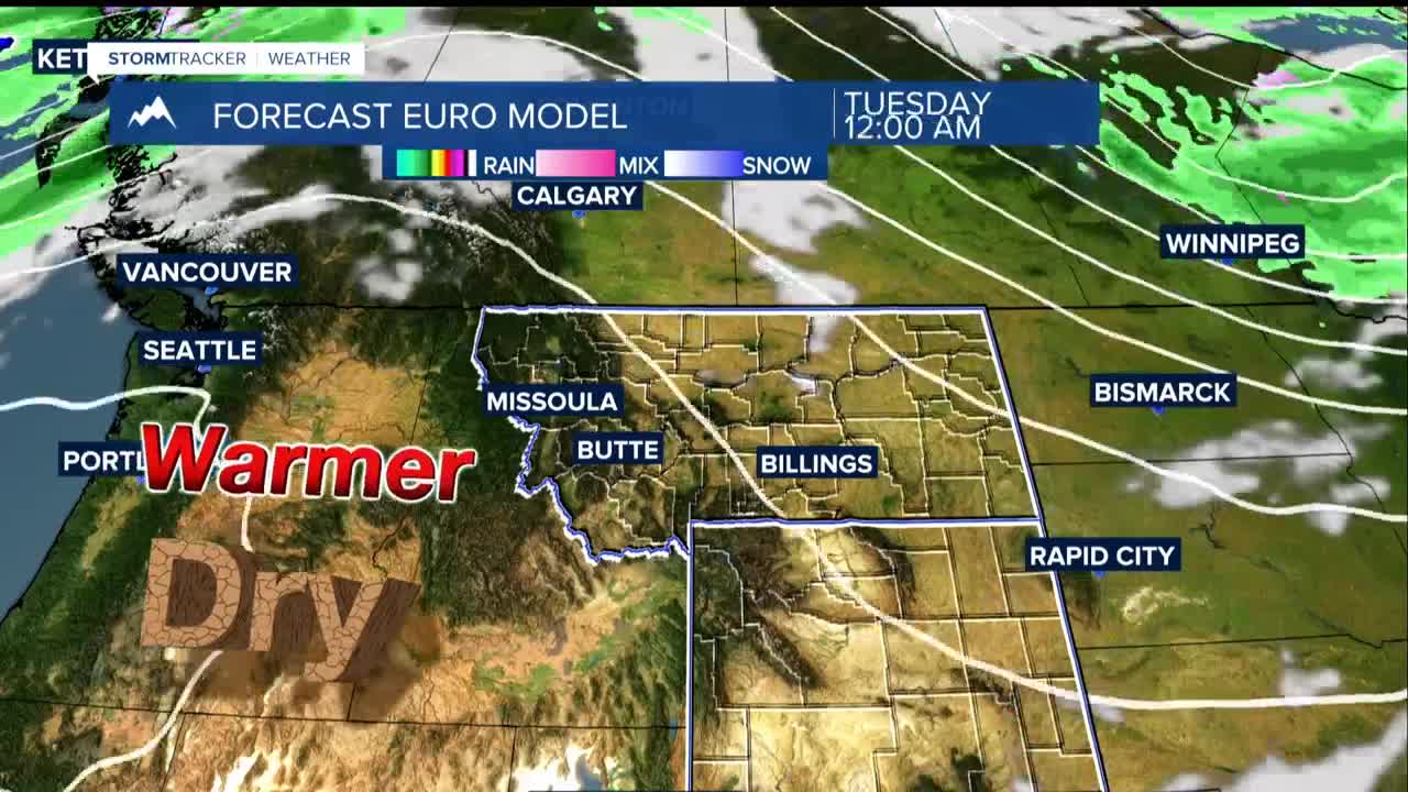


BILLINGS — A high-pressure system moving into the region will bring tranquil, dry conditions through the first half of the work week. Clear skies and light winds Monday night are expected to drop temperatures into the upper 20s and 30s at lower elevations, with freeze and frost conditions likely in foothills and river valleys.
Despite drier air moving into the area, shallow patchy fog may develop along river bottoms late tonight due to recent moisture and light wind conditions. Tuesday temperatures will climb into the upper 50s to mid 60s as the ridge system strengthens aloft.
By Wednesday, the ridge axis will shift eastward, creating southwestern flow patterns that push temperatures into the lower 70s for most locations through increased downslope flow in the mountain foothills.
A weak Canadian air mass may move into eastern Montana Thursday, moderating temperatures to the upper 60s and lower 70s as winds shift eastward.
The extended forecast shows additional ridge building Friday as a strong upper low-pressure system develops off the West Coast. This pattern will nudge warm air into the area with winds, pushing temperatures 5 to 15 degrees above average Friday and Saturday, reaching 72 to 82 degrees.
The southwestern flow will tap Pacific moisture from a developing system off Baja, California. This setup increases precipitation chances to 30-70% for measurable rainfall Saturday into early next week as an upper trough moves into the Rockies.
Mountain areas may see snow at higher elevations, with temperatures dropping to the 50s and 60s by weekend's end.
