


BILLINGS — Sunday evening, there will be fewer thunderstorms than we've had lately, and any storms that do develop will be less intense. The air is drying out, meaning fewer storms overall, and while there could be strong wind gusts reaching 40-50 mph, things will calm down quickly tonight with clear skies.
Morning temperatures tomorrow will vary from cool upper 40s in the higher elevations west of Billings to lower 60s in the east. Highs Monday will range from mid-80s to mid-90s. Again, warmer from Billings eastward.
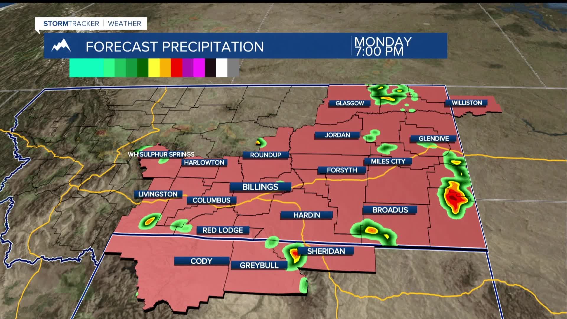
There's a weather disturbance coming from the Pacific Northwest that could bring more thunderstorms tomorrow afternoon and evening, especially from around Yellowstone (Billings) and surrounding counties and across the eastern plains. The storms might carry hail, strong winds, and heavy rain.
On Tuesday, the weather will be drier and cooler, with highs in the mid-80s and just a small chance of storms. Warmer temperatures will return on Wednesday, but it should still remain mostly dry.
However, by Thursday, a cool weather system will move in from Canada, leading to a drop in temperatures and an increase in rain chances, especially from late Thursday into Friday. Highs will drop from the upper 80s to the 70s by Friday. If you have outdoor plans for the weekend, expect cooler and wetter conditions, especially early on.
