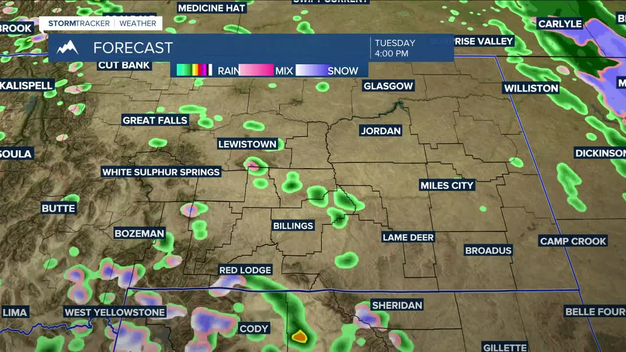


BILLINGS — Precipitation will continue to taper off through early Tuesday as a deep low over South Dakota moves off to the east. A shortwave is forecast to move into the area by Tuesday afternoon. This will bring scattered showers and perhaps a few weak t-storms that could produce small hail through Tuesday evening, especially over western and central parts of the Q2 viewing area. Snow showers could lead to 1-5" inches of accumulation above 7500 feet in the Beartooths and Absarokas over the next 24 hours.
Moving forward, an unsettled weather pattern will influence the region, so daily showers will be possible through the long Memorial weekend. A blend of models shows the area having a chance to add another 0.25 to .50 inches of rainfall by Friday night.
It's still not certain how much precipitation could accumulate Saturday into Sunday. Most models are hinting at another disturbance jetting through the region during the weekend, but are still trying to figure out what track it will take and how much moisture will be associated with it. As of now, a blend of models is forecasting a better than 50% chance of at least 0.25 inch over the area, especially in the mountains. Drier conditions could move in on Memorial Day, though.
Daytime highs will be in the 50s and 60s on Tuesday and Wednesday, 60s and 70s on Thursday, mainly 60s on Friday through the weekend, then 60s and 70s on Memorial Day.
Nighttime lows will be in the 30s and 40s through Wednesday night, then mainly 40s Thursday night through early next week.
Miller Robson
Q2 Morning Meteorologist
miller.robson@ktvq.com
