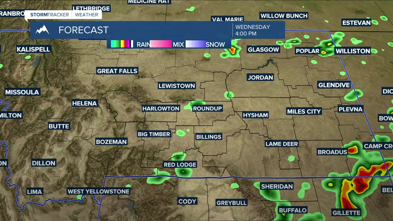


BILLINGS — We're behind a cold front, so daytime highs will be a little cooler on Wednesday, with much of the area topping out in the mid to upper 70s. While severe weather is not expected to be widespread, strong to severe storms can’t be ruled out during the afternoon and evening in the southeast MT/northeast WY.
A mostly drier pattern sets in starting Thursday, with only a low chance of daily showers and thunderstorms through the weekend as temperatures begin to climb, with highs in the mid-80s to low 90s on Thursday, then upper 80s to mid-90s Friday through early next week.
Nightly lows will stay in the 50s and 60s over the next seven nights.
Miller Robson
Q2 Morning Meteorologist
miller.robson@ktvq.com
