


BILLINGS — Colder air has settled in behind Wednesday’s cold front, with many locations dropping into the 20s overnight and a few spots into the teens. Light snow has been falling at times in the Beartooth/Absaroka and Bighorn Mountains as moisture works in from the southwest.
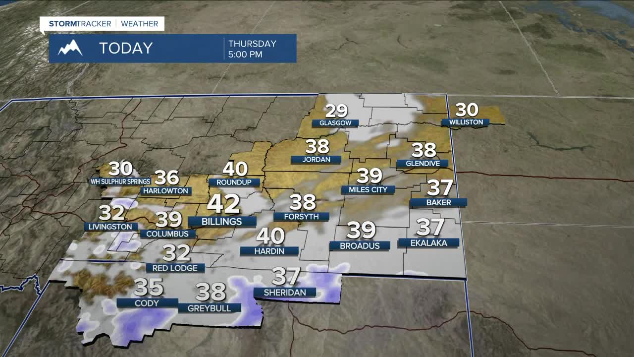
Another disturbance and cold front move in Thursday morning, bringing increasing northwest winds and scattered snow showers. The front reaches Billings around midday, then pushes east through the afternoon with gusty winds. Snow showers spread from western into central areas through the day, organizing into a band by late afternoon and evening as the system shifts east. Brief visibility reductions are possible, especially in southeast Montana and north-central Wyoming, before snow exits east late tonight.
Mountain snow accumulations between 3-6"are expected through Thursday night, with lighter amounts possible (.05-1") at some locations at lower elevations. As temperatures fall Thursday evening, road temperatures will drop below freezing. Wet roads may become slick, including stretches of I-90 through Sheridan County and US-212 in southeast Montana.
Behind the system, west to northwest winds increase Thursday night into Friday. Gusts up to 65 mph are expected along the western foothills from Livingston to Nye and up to 45 mph along the US-191 corridor from Big Timber to Nye. Elsewhere, winds could gusts could reach between 30-40 mph with gusts near 50 mph possible just west of Billings on Friday.
A few snow showers may linger near the Dakotas border Friday afternoon and evening, with highs in the lower 30s to lower 40s, coolest to the east.
Looking ahead, upper-level ridging builds in over the weekend, bringing a return to much warmer-than-normal temperatures into at least mid-next week. Conditions stay mostly dry, but persistent gusty winds continue along the western foothills through the weekend and possibly into next week. A Wind Advisory is in effect for Livingston and Nye from late tonight through Saturday morning, with additional wind headlines possible in the days ahead.
Miller Robson
Q2 Morning Meteorologist
miller.robson@ktvq.com
