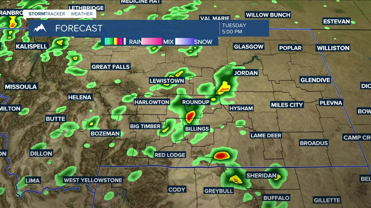


BILLINGS — Cooler air moves in on Tuesday, knocking daytime highs down mainly into the low to mid-80s. A shortwave will keep a chance of showers and thunderstorms in the forecast, with some storms possibly turning strong to severe during the afternoon and lasting into the evening—mainly in Billings and areas to the east. Golf ball-sized hail, wind gusts up to 65 mph, and periods of heavy rainfall will be possible with any storms that do develop. Low risk for tornadoes.
A cold front dropping through by early Wednesday morning will bring even cooler daytime highs in the mid-to-upper 70s. Scattered showers and thunderstorms will remain possible until the evening, with a few strong storms possible.
High pressure moves in Thursday, kicking off a mainly dry and warmer stretch of weather through the weekend. A low chance of daily isolated afternoon showers and thunderstorms will continue through Sunday as daytime highs rise into the mid-80s to low 90s on Thursday, then into the low to mid-90s on Friday and through the weekend.
Nighttime lows will be in the 50s and 60s through Sunday night.
Miller Robson
Q2 Morning Meteorologist
miller.robson@ktvq.com
