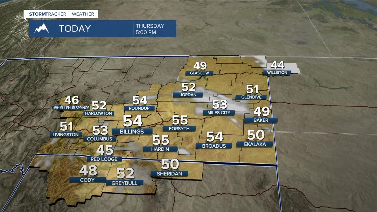


BILLINGS — Dry conditions will persist through Saturday as high pressure continues to remain over the area. We can expect breezy conditions for many locations on Thursday, but stronger winds will linger in southeast MT through Thursday afternoon, with gusts over 40 mph possible.
Cooler air moves in behind a cold front, so highs will dip back down into the 40s and 50s through Friday—some areas in eastern MT may struggle to get out of the 30s on Friday—before warming back into the 50s and 60s across the weekend. A cold front is expected to move through on Sunday. If it arrives quicker than anticipated, daytime highs may not be as warm as suggested on Sunday.
Windy conditions are expected to return Saturday along the Livingston-to-Nye corridor, with gusts of 30–50 mph possible before spreading across the rest of the area on Sunday with the passing of a cold front. The front will also bring a slight chance of lower-elevation rain and mountain snow showers by the end of the weekend. Any precipitation is expected to be light.
High pressure is forecast to bring mainly dry conditions back into the area Monday through the middle of next week.
A quick look at Halloween trick-or-treating conditions Friday night: cool and dry, with temperatures in the 30s and 40s, dropping below freezing by 9 PM in parts of eastern Montana and northern Wyoming.
Nighttime lows will be in the mid to upper 20s on Thursday night, mid-20s to low 30s on Friday night, 30s and 40s Saturday night, then 30s on Sunday night through early next week.
Miller Robson
Q2 Morning Meteorologist
miller.robson@ktvq.com
