


BILLINGS — A trough is sliding onto the Northwest Coast this morning, putting us under a southwest flow — and that’s already kicking up those familiar gap winds around Livingston and Nye. Through the morning, those spots have about a 60% chance of hitting 50 mph gusts and roughly a 35% shot at pushing 60 mph. As the front moves through around midday, that stronger pressure gradient shifts the wind threat east. Big Timber through Harlowton could see 45–55 mph gusts late this morning into the afternoon.
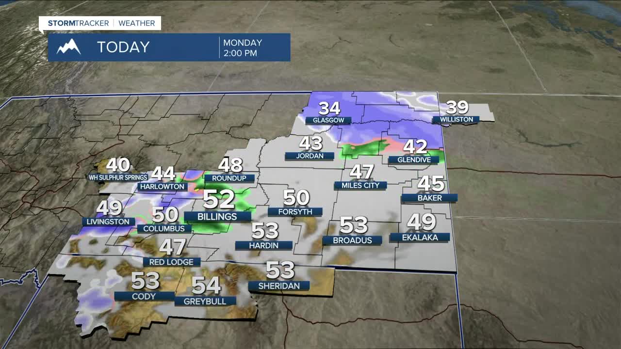
Ahead of the front, warmer air pushing in from the southeast will spark some light rain showers. Timing looks like this: midday west, mid-afternoon around Billings, and early evening for eastern Montana. Showers will be brief and on the lighter side as drier air races in behind the front. Expect a rain/snow mix in the lower elevations with any later showers falling as snow, especially east. Mountain totals will run about 5–8 inches, with only minor accumulation near the foothills. Lower elevations may see a few flurries, but eastern Montana has the best chance for up to 2 inches.
The big story with this system is the wind. Gusts area-wide will run 30–55 mph, strongest along the western foothills and out in eastern Montana. With some instability in place, a couple rumbles of thunder aren’t out of the question. The convective nature of the line could also give those gusts a little extra punch. As stronger 850-mb winds mix down over eastern Montana tonight, blowing snow will become an issue late tonight into Tuesday morning. Visibility will drop at times — so take it slow if you’re traveling. A Winter Weather Advisory is in effect for Fallon and Carter Counties from 2 p.m. today through 11 a.m. Tuesday.
Behind the system, cooler air settles in with highs in the 30s and low 40s Tuesday through Friday. Northwest flow will keep daily chances (20–40%) of showers going, and with moisture levels running 150–200% of normal plus some upper-level divergence, Thursday looks like a day to watch for better snow potential.
Looking ahead to the weekend, ensembles continue to signal another push of colder air and energy dropping in from the northwest, but there’s still a lot of uncertainty in how long the precipitation lasts and how much we get. Highs will tumble into the teens and 20s. Keep an eye on the forecast — especially if you’re traveling for the holiday.
Miller Robson
Q2 Morning Meteorologist
miller.robson@ktvq.com
