


BILLINGS — A strong cold front hits Monday with a messy mix of weather. Expect scattered rain and snow (40-70% chance) with possible rumbles of thunder as the front moves through.
Winds will be the big story especially west of Billings with gusts of 30 to 50 mph from Monday afternoon through Tuesday morning.
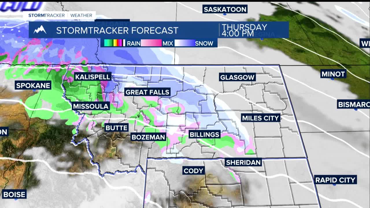
Tuesday through Friday brings cooler-than-normal temperatures with lows in the teens and 20s and highsin the 30s to low 40s. Occasional light rain or snow showers will develop on Thursday and Friday. Think typical late fall weather but on the chilly side.
The big story is Friday night through Sunday as much colder air arrives with the potential for the season's first significant snowfall. This could impact Thanksgiving weekend travel plans across the region.
Lows Sunday morning will in the single digits if the current trend holds. Highs on Saturday look to be in the 20s, with teens on Sunday.
