


BILLINGS — The area will continue to be influenced by a low-pressure system on Tuesday, as high pressure to the east won't let it move away. We can expect periods of rain and isolated thunderstorms through Wednesday morning before the system finally moves off to the east. We're also behind a cold front, so temperatures will be cooler, with highs in the mid to upper 60s in the west and central areas, and mid- 70s in the east.
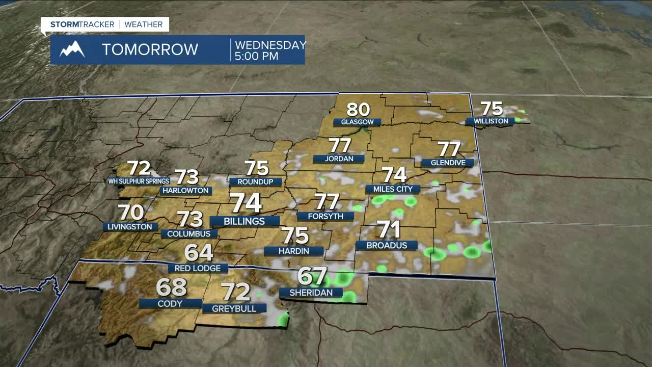
Many locations west and central (including Billings) could receive another tenth to a half inch of rainfall before high pressure begins to bring drier conditions starting Wednesday afternoon. Wednesday highs will be mainly in the low to mid 70s.
The Beartooth Highway above 10,000 feet could pick up 1–3 inches of snow by Wednesday morning. A Winter Weather Advisory is in effect until midnight tonight. The Bighorns will also receive some snow.
Mostly dry conditions will prevail Thursday through the weekend, as daytime highs hover around seasonal averages in the 70s, before some locations warm into the 80s over the weekend.
Nighttime lows will be mainly in the 40s and 50s through the weekend.
Miller Robson
Q2 Morning Meteorologist
miller.robson@ktvq.com
