


BILLINGS — Eastern Montana and northern Wyoming are in the grip of a cold snap that will keep temperatures brutal through Monday morning, with many areas seeing lows just above or below zero degrees. The coldest air will gradually ease during the day Monday as temperatures climb into the mid-20s in eastern areas and upper 30s in western regions.
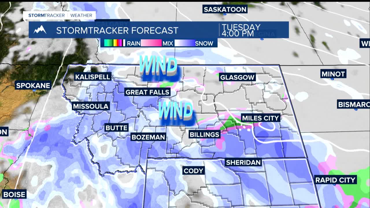
But don't put away those winter coats just yet. A weather pattern change Monday night will bring strong winds to the mountains and foothills, with gusts potentially reaching 50-60 mph in areas like Livingston, Nye, Harlowton, and Big Timber on Tuesday. These winds could create dangerous blowing snow conditions.
When a new storm system arrives Tuesday into Wednesday. the mountains could see 4 or more inches of fresh snow, while lower elevations face a tricky mix of precipitation. Snow will start falling Tuesday morning on the plains, but as temperatures warm during the afternoon, it may switch to a slushy rain-snow mix in valley areas before turning back to snow Tuesday evening.
This transition could create icy road conditions during the Tuesday evening commute as wet surfaces freeze when temperatures drop.
The unsettled weather pattern continues through the weekend, with multiple chances for rain and snow each day. Additional windy periods are possible, especially Friday into Saturday.
Temperature-wise, expect highs in the 30s to near 40 on Tuesday, dropping back to the teens and 20s on Wednesday, then fluctuating between the 20s and 40s for the rest of the week depending on storm timing.
