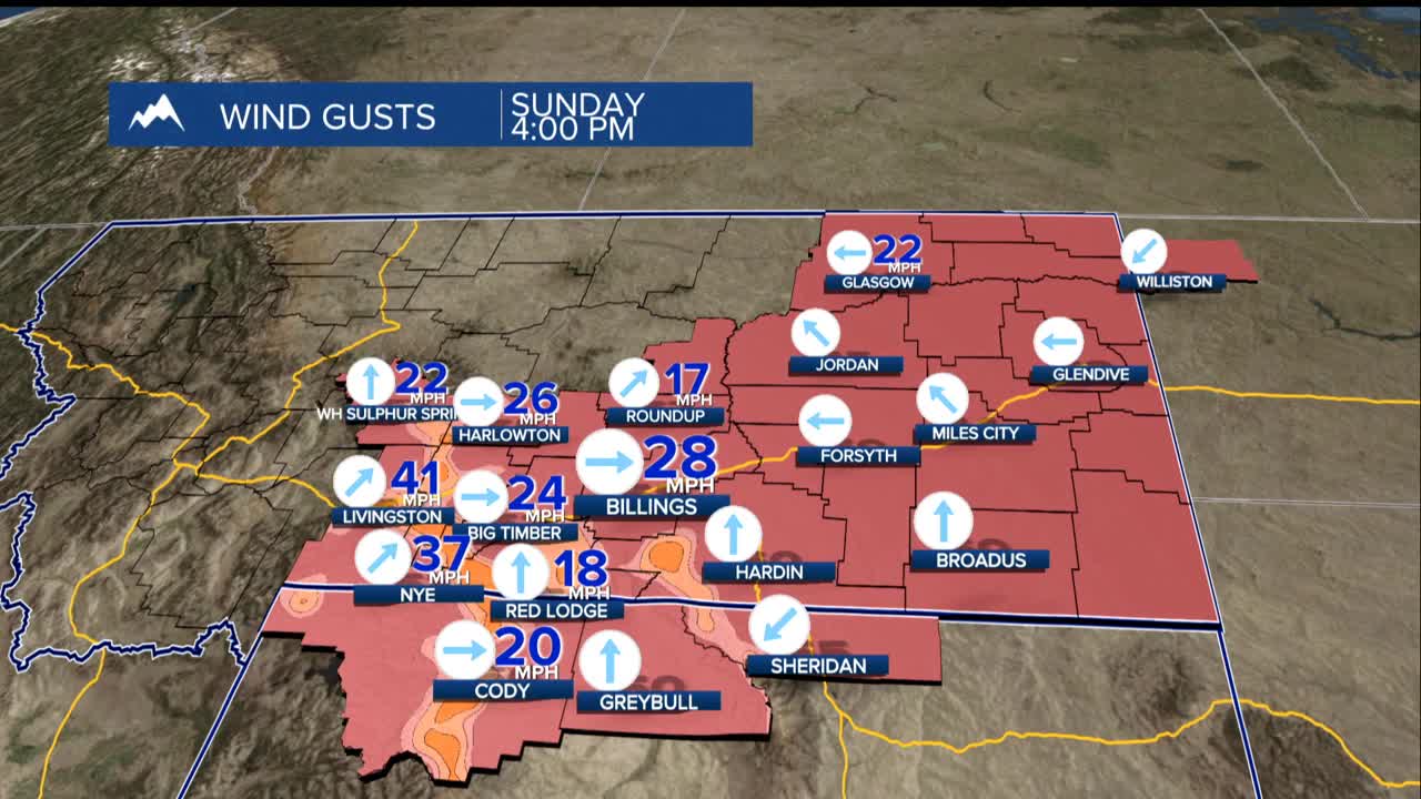
BILLINGS — A powerful weather pattern is setting up shop across Montana this week, bringing a combination of winds, unseasonably warm temperatures, and bone-dry conditions that raises concerns about grass fire dangers.
The wind picks up Monday, particularly along the western foothills with gusts at 40 to 55 mph. That is strong enough to make driving challenging and potentially damage property. Even across the plains, winds will gust, reaching 30 to 45 mph throughout the day.
Late Monday night through sunrise Tuesday, the strongest winds will shift along the US-191 corridor, targeting areas from Big Timber through Harlowton. Expect the most intense gusts of the week, with winds potentially reaching 60 mph or higher.
Monday evening into early Tuesday, a messy mix of rain and snow is possible, with the troubling potential for brief freezing rain in the eastern most parts of Montana. While accumulations will be light at just a dusting of snow and a few hundredths of an inch of rain, the combination of the precipitation with overnight temperatures dropping into the 20s could create dangerously slick road conditions Tuesday morning.
Highs will continue to soar into the 40s and low 60s throughout the week, peaking Thursday when thermometers could reach the mid-60s. This warm, dry, and windy combination creates a setup for grass fires. With virtually no moisture in the vegetation and gusty winds to fan any flames, even the smallest spark could quickly grow into a dangerous wildfire. Use extreme caution with anything that could create a spark this week.


