


BILLINGS — The mountains are feeling the first effects of our next weather system as precipitation chances climb to 20-40%. While mountain areas bear the brunt of this system, the plains can expect lighter impacts with less than a 20% chance of seeing more than a tenth of an inch through Wednesday morning.
Over the Absaroka and Beartooth mountains, overnight snow levels will drop to around 10,000 feet, though accumulations will remain light. Scattered thunderstorms might pack a punch in the form of gusty 30 to 40 mph winds.
With lows in the upper 40s to 50s Thursday morning, the upper-level flow maintains its southwesterly orientation, keeping isolated shower chances alive over western mountains and foothills. The rest of the region enjoys relatively dry conditions Wednesday afternoon with most of the elevations in the 70s.
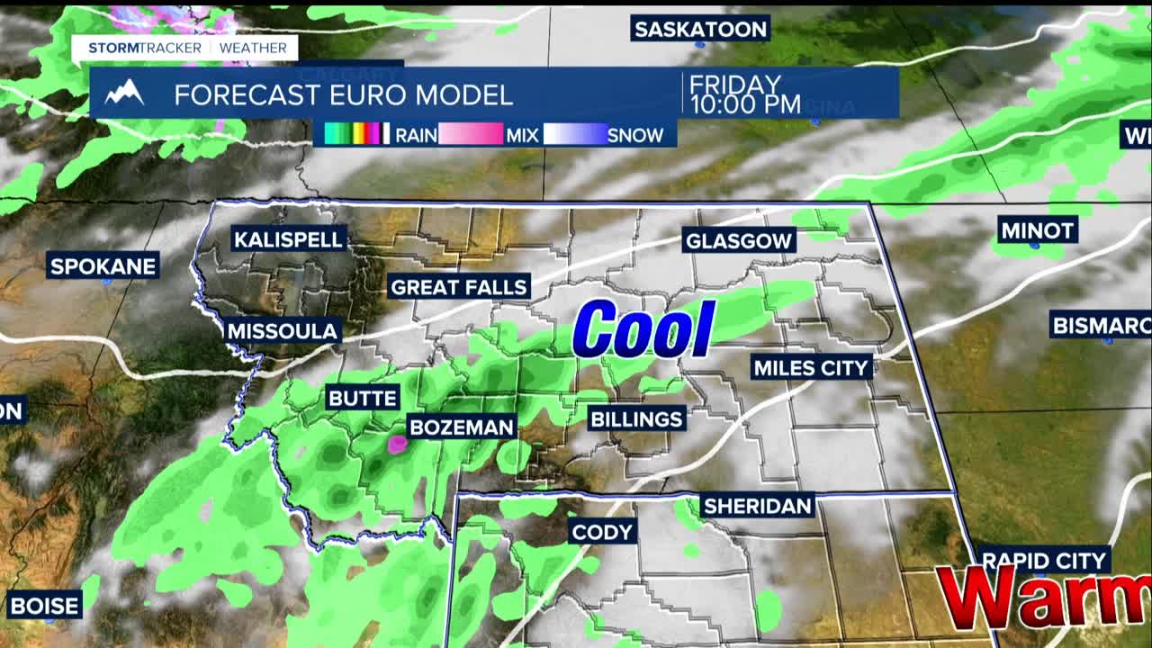
Late Thursday, a Pacific trough makes its debut. This system promises more widespread precipitation lasting through at least Friday. The plains have 30-50% chances of at least 0.1 inch of precipitation.
The weather models diverge on the weekend pattern. What remains clear is below-normal temperatures will persist through early next week, accompanied by additional precipitation and mountain snow opportunities.
The uncertainty lies in the details: total precipitation amounts, whether the moisture arrives continuously or in separate waves, and how low snow levels will drop. This uncertainty makes the forecast particularly crucial for anyone planning mountain or foothill recreation.
A dramatic change in temperatures is coming. Through Thursday, summer-like warmth persists with highs running 10-20 degrees above normal—70s across areas form Billings to the west, 80s to the east.
Friday marks the beginning of a significant cool down. Temperatures drop to the low 60s west, low 70s east, before Sunday brings mostly 50s regionwide. Perhaps most notably, Sunday night into Monday morning threatens the season's first freeze, with overnight lows near or below 32 degrees.
