


BILLINGS — Areas of low clouds and fog will persist across Montana through Thursday morning, with precipitation chances increasing significantly late tonight and continuing through Thursday evening.
A large weather system over the Great Basin is driving the current conditions across the region. That is leading to widespread fog development, with rain and mountain snow on the way from Wednesday through Friday morning for some areas.
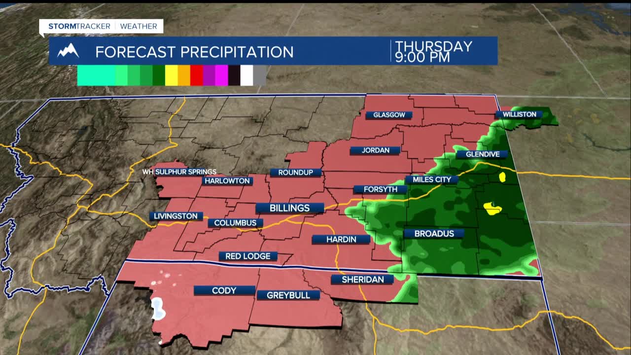
The main precipitation event will begin Wednesday night as an upper-level low moves northeast, bringing steady rain to much of the area. Snow levels will start around 9,000 feet and gradually drop to about 6,500 feet by Thursday evening.
Mountain snow will be most significant in the Absaroka and Beartooth ranges, with the highest accumulations expected on south-southwest facing slopes. However, storm total snowfall is forecast to remain under one foot due to higher snow levels and lower snow ratios.
Friday and Saturday will bring breezy conditions with scattered showers as a northwesterly flow dominates the region. The strongest wind gusts may occur around Harlowton and Big Timber, though winds are expected to remain under 50 mph region-wide.
Conditions will improve for the weekend, with Saturday and Sunday temperatures potentially reaching a few degrees above average under dry conditions across the region. Another Pacific weather system is expected to arrive Monday and Tuesday, bringing another chance for precipitation to the area.
